

A new study about the rise of the Sierra Nevada mountains in eastern California may point the way to improved understanding of how the Wasatch Front and the Great Basin were formed.
The study, published in the November-December issue of the Geological Society of America Bulletin, is titled "Tectonics of Pliocene removal of lithosphere of the Sierra Nevada, California." The authors are Craig H. Jones and G. Lang Farmer, both associate professors at the University of Colorado, Boulder, and Jeffrey Unruh of William Lettis and Associates, earth science consultants based in Walnut Creek, Calif.
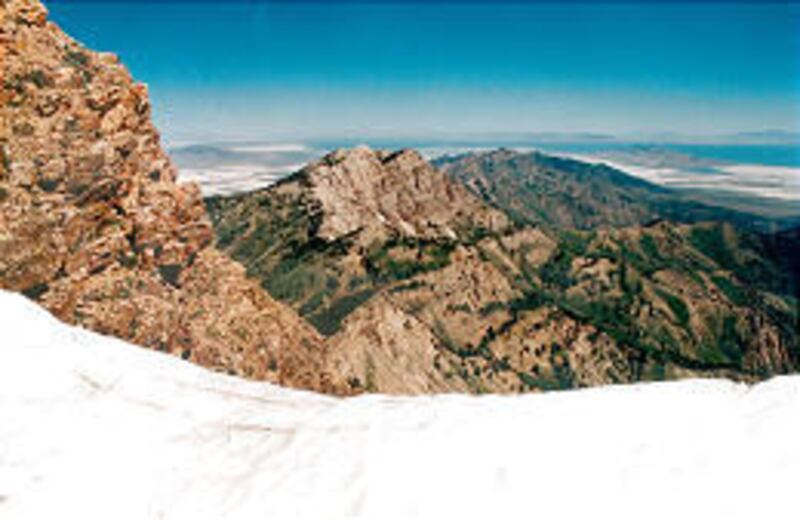
While it focuses on that California range, the report also cites changes in the western Great Basin as involved in the theory. The Great Basin is the vast region of desert and mountains between the Sierra Nevadas and the Wasatch Front. The Wasatch Mountains reach from southeastern Idaho to central Utah.
Farmer told the Deseret Morning News that about 20 scientists have been involved in a project to sort out the Sierra Nevada geology, an effort that has been continuing for "going on to 10 years now."
The new study is based on the premise that "the Sierra Nevada represents an example of what I like to call 'bottom-down mountain building.' "
One explanation for the rise of mountain ranges is that motions in Earth's crustal plates, called plate tectonics, squeeze parts of the landscape together, and this pushes up mountains. But that does not seem to be the case for the Sierra Nevadas, according to the study.
"The high elevations are due to the fact that the bottom of the crust fell off," Farmer said. "Basically, the bottom of the continent fell off the mantle and sank back into it."
As a dense, heavy slab of crustal material sank into the Earth, hot mantle rock welled up from beneath and took its place. "When you replace something that's dense with something that's less dense, it pushes up the whole column of crust above it," he said.
This material pushing upward formed the Sierra Nevada mountain range, an event that may have happened around 3.5 million years ago.
Mountains and valleys formed in the Great Basin because of changes in the Earth's crust, and scientists are curious about whether what happened at the western edge of the Great Basin is similar to geological processes that occurred in Utah's distant past at the basin's eastern border.
"For a long time geologists have noticed that the Sierra and Wasatch Front/High Plateaus (of Utah) have similarities," Jones wrote in an e-mail to the Deseret Morning News.
In both cases, the elevated landscapes "present a high front to the Great Basin and fall away in elevation from that front," he said.
"The faults at the boundaries are active," he added. These include the Wasatch Fault and related faults in southern Utah, and a group of faults at the eastern edge of the Sierra, called the Sierra Nevada Fault.
"So this explanation for the Sierra might be looked to as providing some insight for the north-south spine of Utah," Jones added. That "spine" is the Wasatch Front.
Just possibly, he said, a process similar to the Sierras' formation went on in Utah. This could be "something maybe a little different in origin, but reflecting the same physics of dense material falling away from the base of the crust."
Scientific research is needed to comprehend the forces that dominate earth plate motions in Utah. It could be a project like that carried out with the Sierra Nevadas, he said.
A mobile network of seismograph stations set up by the EarthScope program might provide some answers, he said. The project, funded by the National Science Foundation and operated in conjunction with the U.S. Geological Survey, uses seismic detectors, GPS readings and an observatory in the San Andreas Fault to track motion of Earth's crust.
(To learn about EarthScope, check the project's Internet site, www.earthscope.org)
"There is a window where more detailed study of the east side of the Great Basin will be possible," Jones wrote.
"Will this happen? We'll have to see — the EarthScope science program is still shaking itself out; to date, it is underfunded to fully utilize all the data that the equipment will generate."
Still, Jones added, "the chances of unraveling all this are better now than in a long time."
E-mail: bau@desnews.com