
BITTINGER, Md. — It's not much of a road — but what a road it was.
Two hundred and fifty years ago, British and colonial American troops hacked through 122 miles of Maryland and Pennsylvania wilderness en route to a resounding defeat by the French near what is now Pittsburgh. Today, their route is barely recognizable. Even a well-preserved section atop Big Savage Mountain is overgrown and eroded, its wide, rugged path winding across steep Appalachian ridges through stands of maple and oak.
But Braddock's Road is being walked again this spring and summer as historians mark the 250th anniversary of one of the early battles of the French and Indian War. George Washington and Daniel Boone were among the nearly 2,400 men, led by British Gen. Edward Braddock, who spent two months toiling along an Indian trail from Cumberland toward Fort Duquesne, at the forks of the Ohio River, aiming to seize the fortress from the French.
Subsisting on wild game and rattlesnake meat, they widened the path to 12 feet to accommodate 200 horse-drawn wagons hauling cannons that had been shipped from England to Virginia, and then pulled along roads to Fort Cumberland.
They left Cumberland on May 1, 1755, averaging just two miles a day. At one point, Washington complained in a letter to his brother, "they were halting to level every molehill, and to erect bridges over every brook, by which means we were four days in getting 12 miles."
The expedition ended at what is now Braddock, Pa., seven miles short of Fort Duquesne, on July 9, 1755, when the party was ambushed and defeated by about 1,200 French soldiers and Indians. Braddock was mortally wounded. When he died four days later, his remains were buried in the middle of the road about 10 miles east of Uniontown, Pa.
Although his troops were vanquished, their rough road became the main route west for settlers crossing the Eastern Continental Divide to reach the Ohio Valley. It was used for nearly 60 years before the National Pike, precursor to U.S. 40, was built to replace it.
Today, those who hike the publicly accessible 2 1/2 miles of Braddock's Road in Maryland's Savage River State Forest can thank amateur archaeologist Robert L. Bantz, a retired mechanical engineer from the Cumberland area who has spent the last 10 years charting the route.
Guided by a 1914 article by Harvard University professor John Kennedy Lacock, and using old maps, journals and GPS technology, Bantz, 69, has painstakingly plotted most of the 36 1/2 miles of Braddock's Road in western Maryland. He said there are 18 miles of undisturbed road in Maryland, almost all on private land, while just a few traces exist in Pennsylvania.
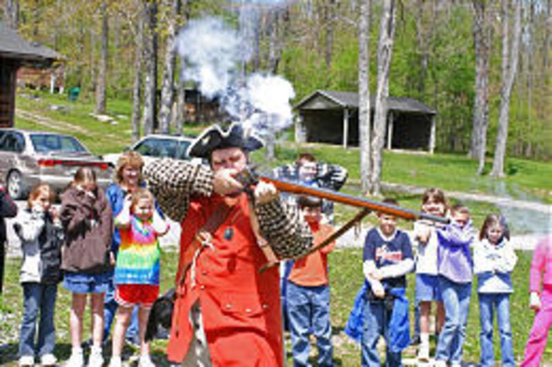
"My job is to try to preserve it so that you and your grandchildren can walk it," he told dozens of Garrett County elementary students last month.
Bantz was delighted to see signs, recently erected by the state Department of Natural Resources, directing people to the old road.
Savage River State Forest Manager Mike Gregory said the state considers Braddock's Road a precious asset.