
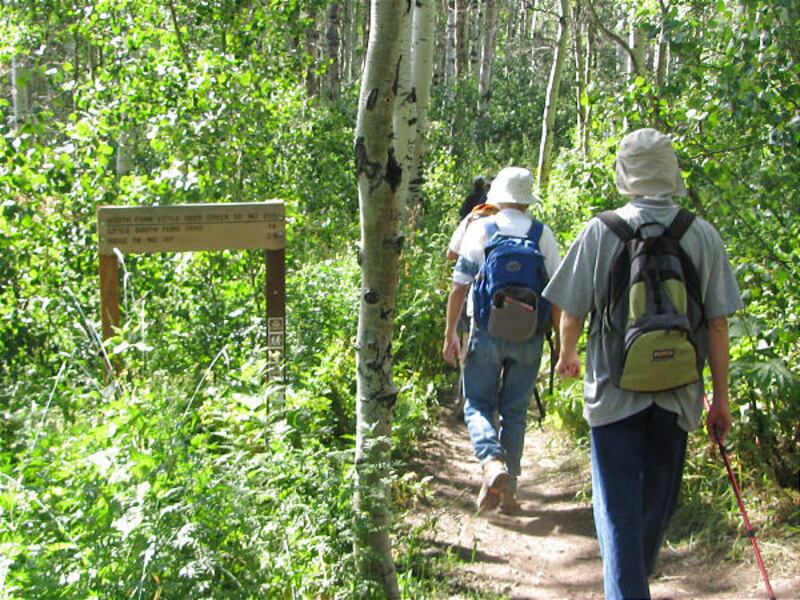
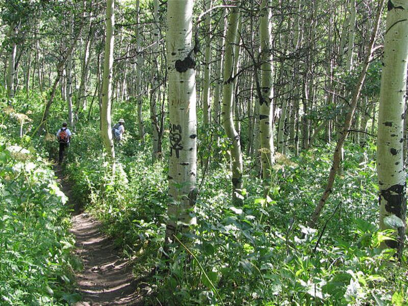

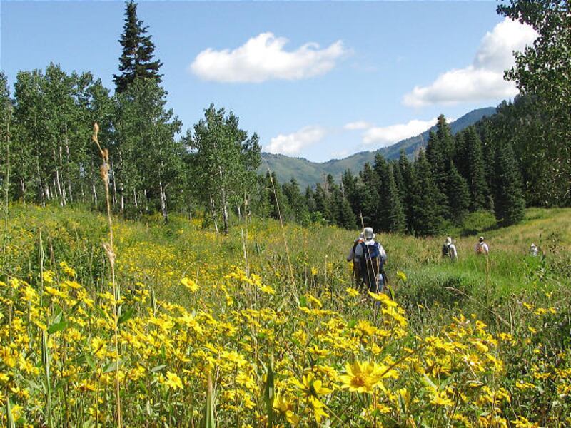


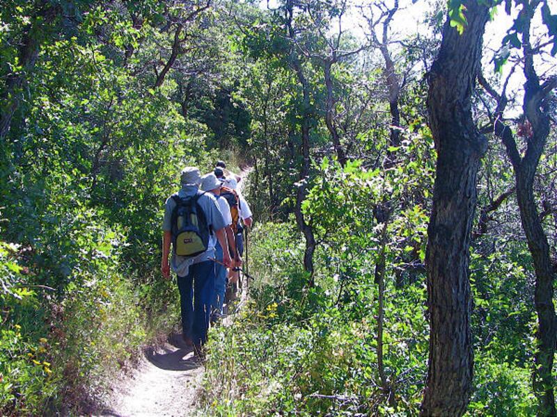


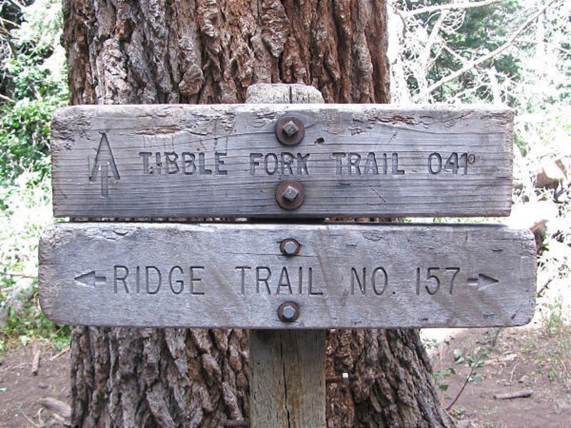

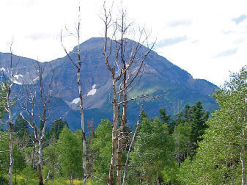
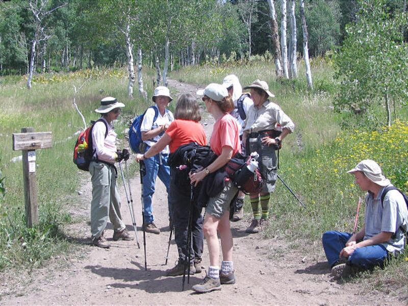
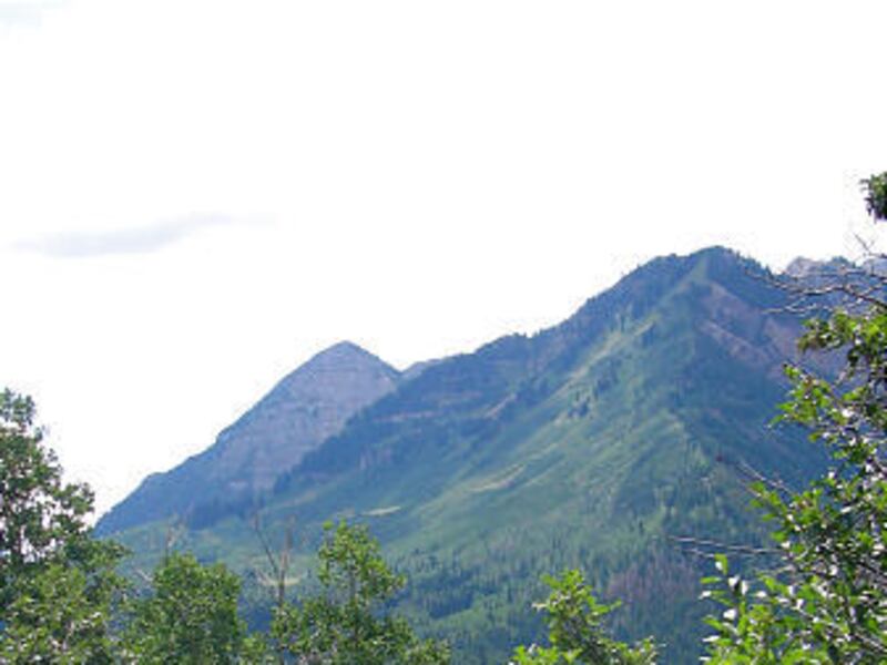


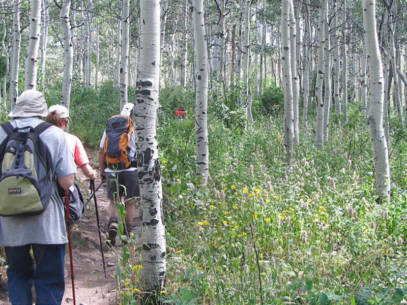
From the Summit parking area, start hiking on the Lame Horse Trail. You come to a trail junction quickly. Go left at the junction, taking the South Fork Little Deer Creek Trail 252 downhill in the aspens. The trail comes to a road and stop sign. Cross the road to the trail post. At .60 miles you come to the first of many meadows. The trail descends for 1.6 miles and crosses Deer Creek. After the crossing, the trail comes to a gravel road. At the road, go left to Cascade Scenic Drive Highway. The unmarked trail continues directly across the highway. From the highway, the trail starts up for the ridgeline in a sagebrush meadow. You leave the meadow for an aspen grove, then scrub oaks and finally conifers near the top. At 3 miles, the trail open up and smooths out to spectacular views of Mount Timpanogos. You arrive at the ridgeline and trail junction. Go left on Ridge Trail 157. Don't take the trail heading downhill. This section takes you to the highest point and the trail drops to the junction for Mud Springs. At this junction and all other junctions, stay to the left. Stay on Ridge Trail 157. The trail takes you back to the Summit parking area. Other users on the trail are mountain bikes and motorcycles. This is a beautiful loop hike with diverse terrain!
Directions: In Utah County, take Highway 92 (Alpine Loop Road) up American Fork Canyon. Drive to the summit and park at the Summit trailhead.
Destination: Loop views
Difficulty: Moderate
Round trip: 6.5 miles
Hiking time: 4 to 5 hours
Elevation gain: 745 ft.
Trailhead restrooms: Yes
Dogs allowed: Yes
Canyon fee: $6