
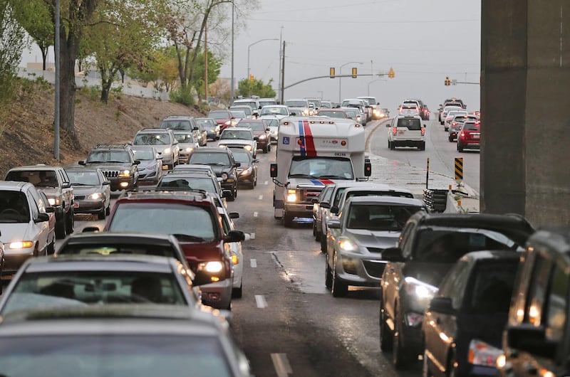

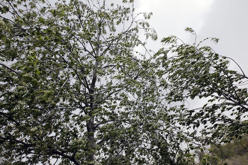
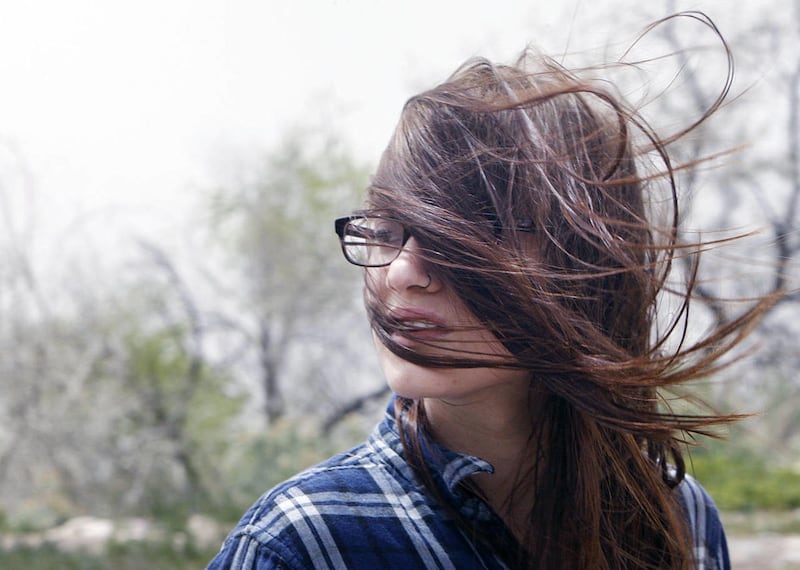
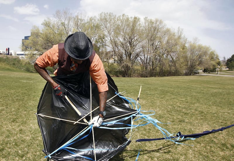
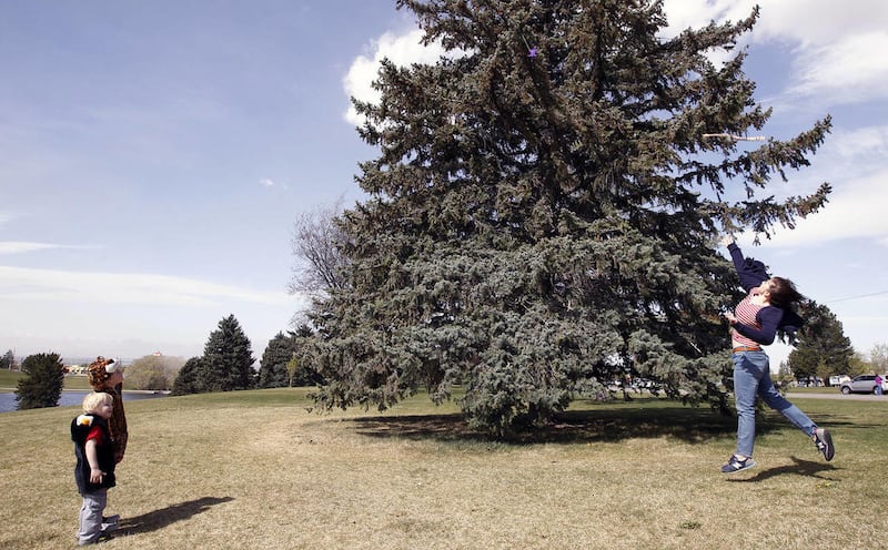
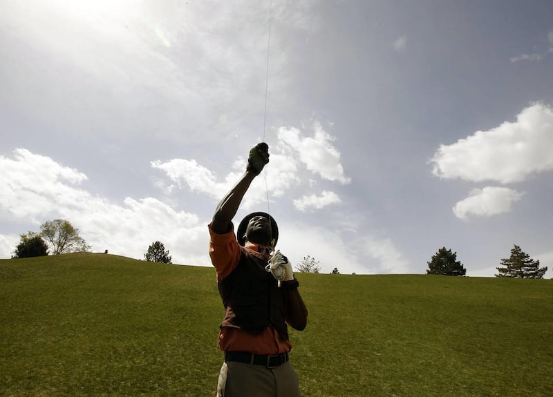
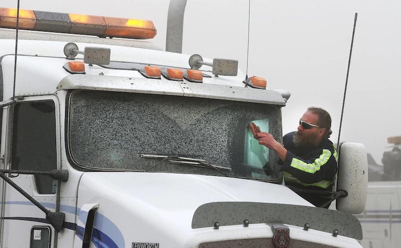

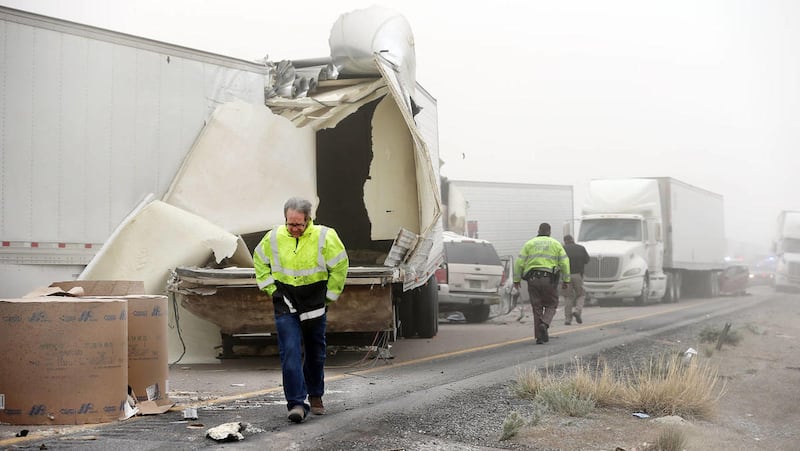
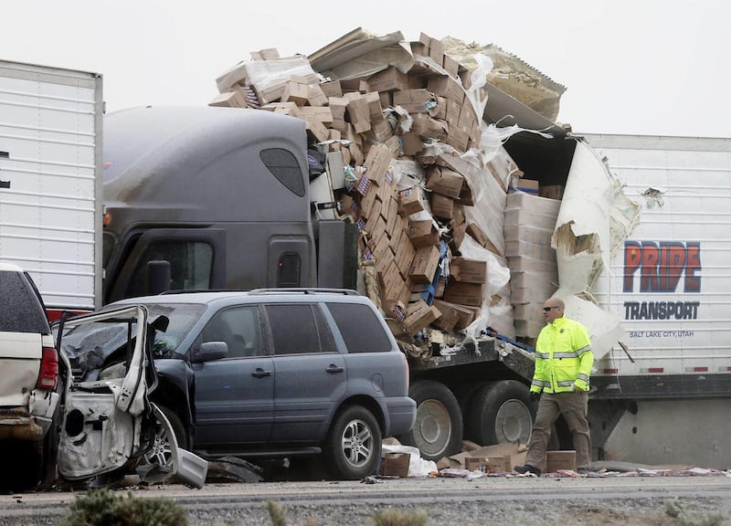
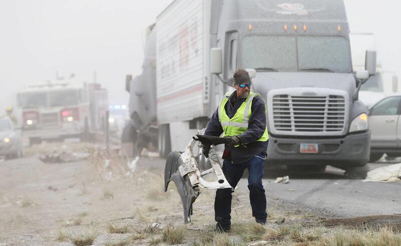


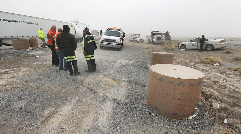

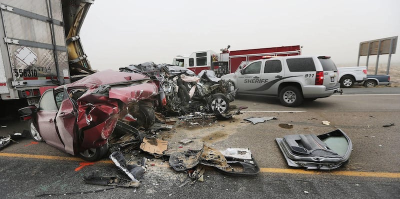
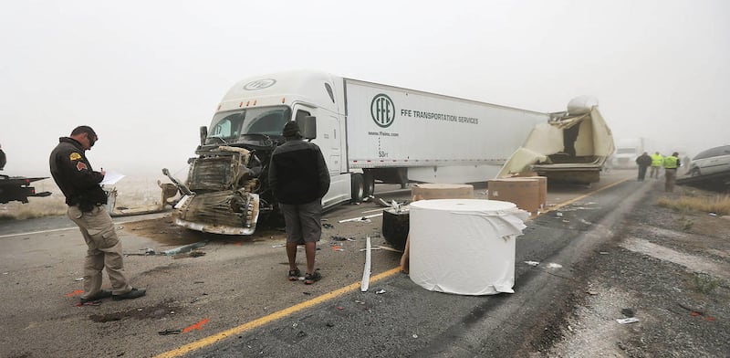
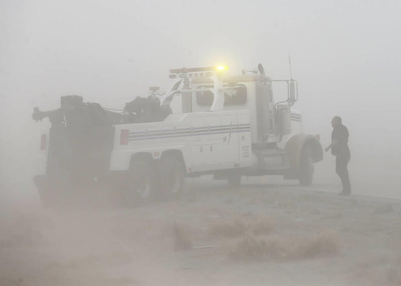


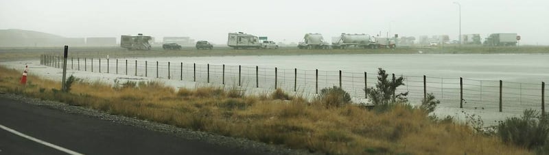
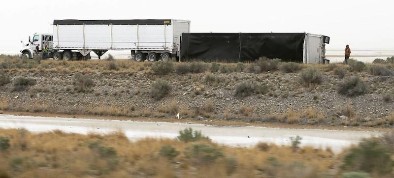
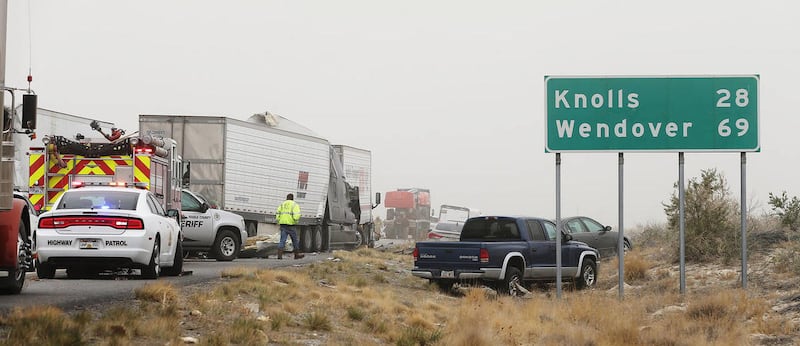
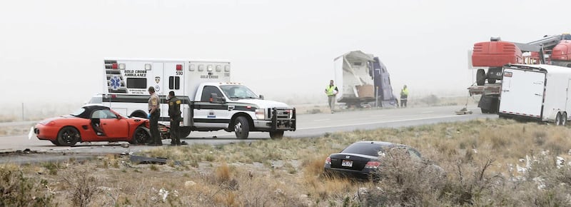


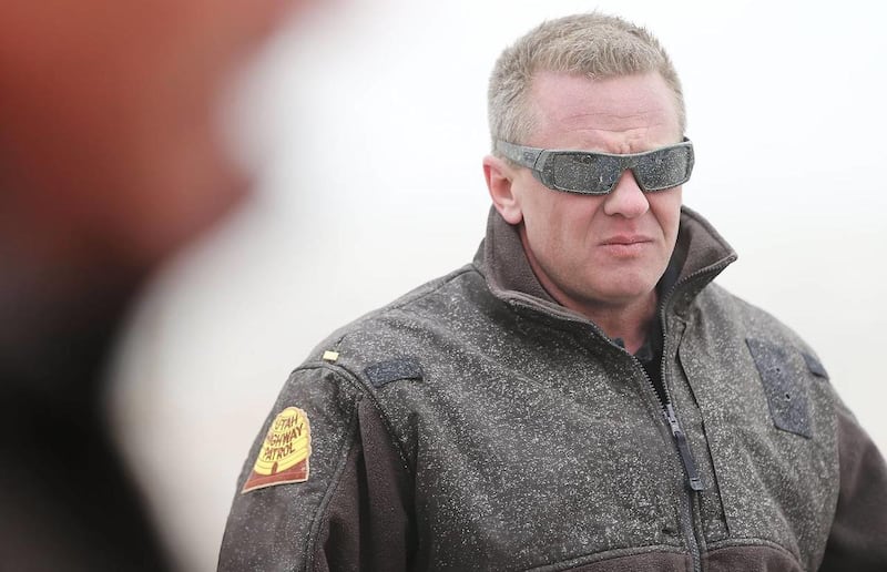
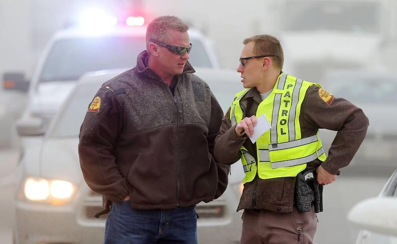

TOOELE — High winds reaching between 80 mph and 90 mph in some places caused road closures and crashes Tuesday that resulted in one death and at least 25 injuries.
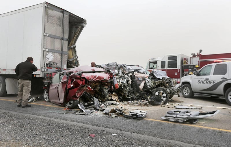
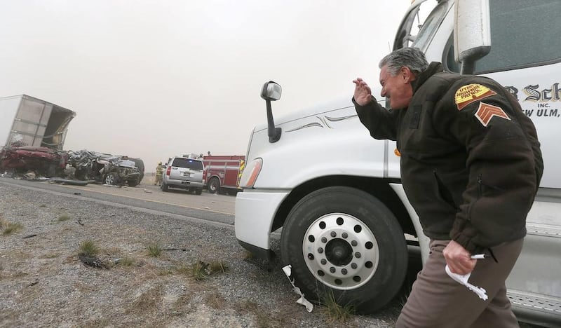
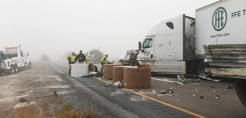
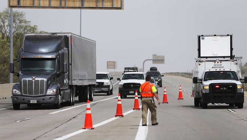
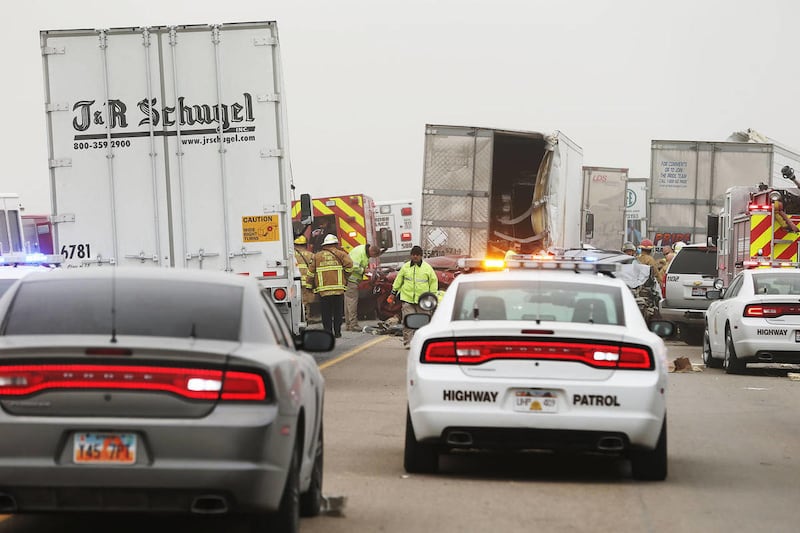
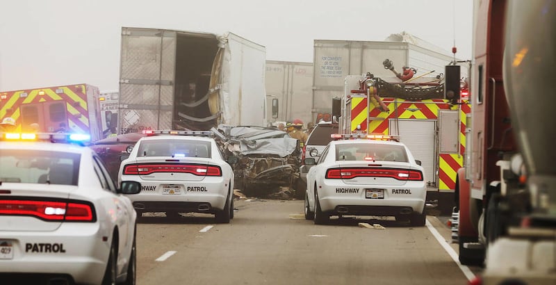
"It sounds like instead of just being a bunch of separate incidents, it's all one incident," Utah Highway Patrol Sgt. Todd Royce said, referring to a pileup on I-80 that involved six semitrailers and multiple cars.
A semitrailer attempted to slow down after seeing inclement conditions, police said. Because of low visibility, at least 11 of the cars behind the truck collided with it or each other.
"They had a triggering incident, and then people just came too fast in to the low visibility and they started stacking up," Royce said.
At least 25 people were injured, including 18 who were transported to a local hospital. One man died in the crash, though police did not release his identity or provide any other details about his death Tuesday.
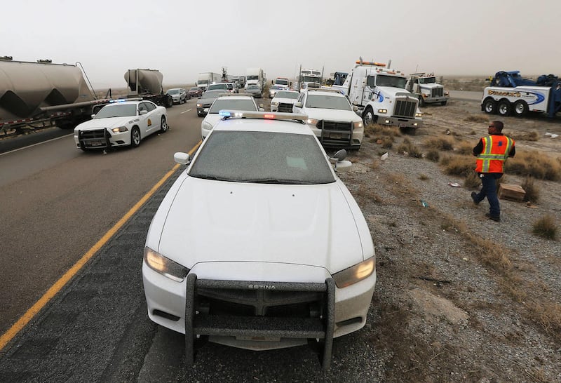
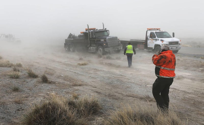
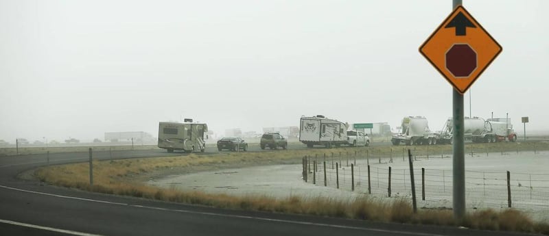
Westbound I-80 was closed near the Stansbury exit for much of the day while crews cleaned up after the accidents. Eastbound I-80 was closed from the Nevada border to the Stansbury exit for several hours. The crash site was cleared shortly after 7 p.m.
There were several other minor crashes, police said, but no other major injuries were reported.
The National Weather Service recorded wind speeds up to 92 mph in East Millcreek at 3 p.m. In Dugway, winds reached 82 mph at 12:50 p.m.
KSL meteorologist Dan Guthrie said the wind was caused by two very close systems.
"It's kind of like with the canyon winds when we've got the air trying to go over the mountain. It can't because the mountain blocks it," Guthrie said. "So there's little gaps, and we have the canyons, and that's where the air shoots out."
The National Weather Service issued a high-wind warning for western and central Utah. Gusts on I-15 at Point of the Mountain topped 60 mph and drivers were urged to use caution, according to the Utah Department of Transportation.
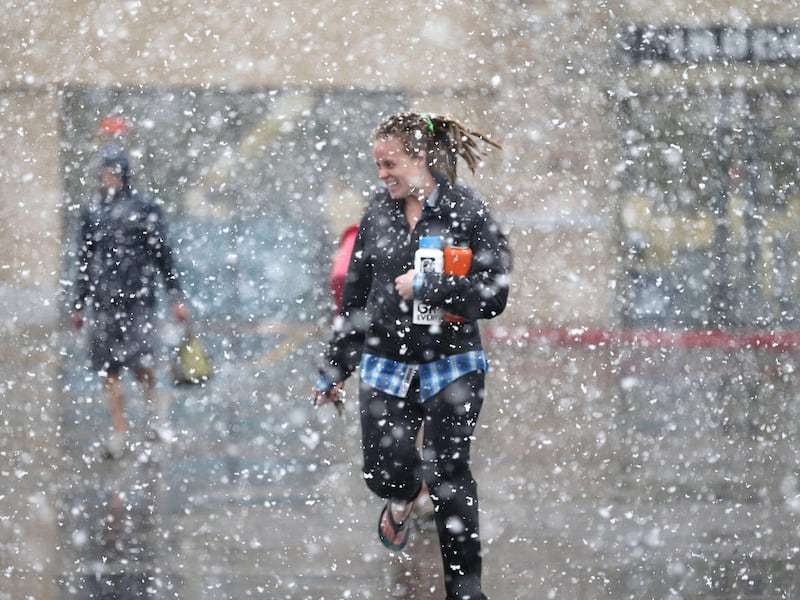
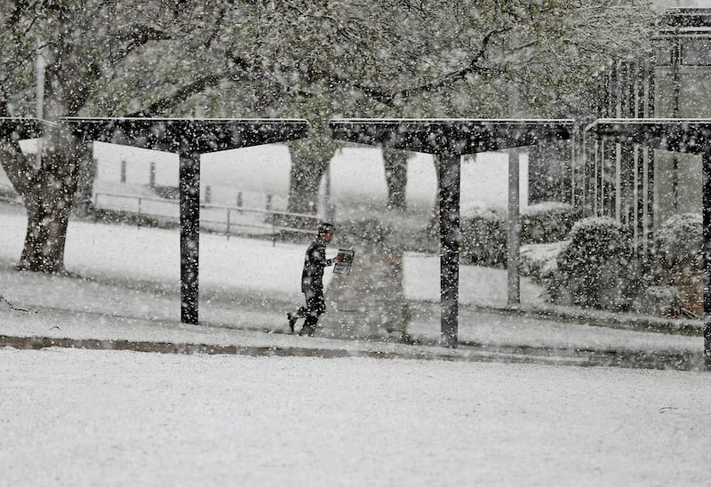
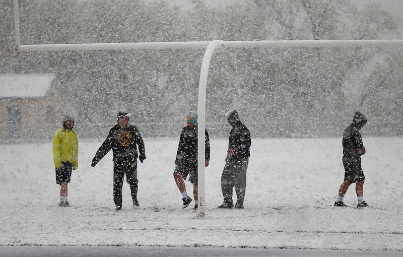
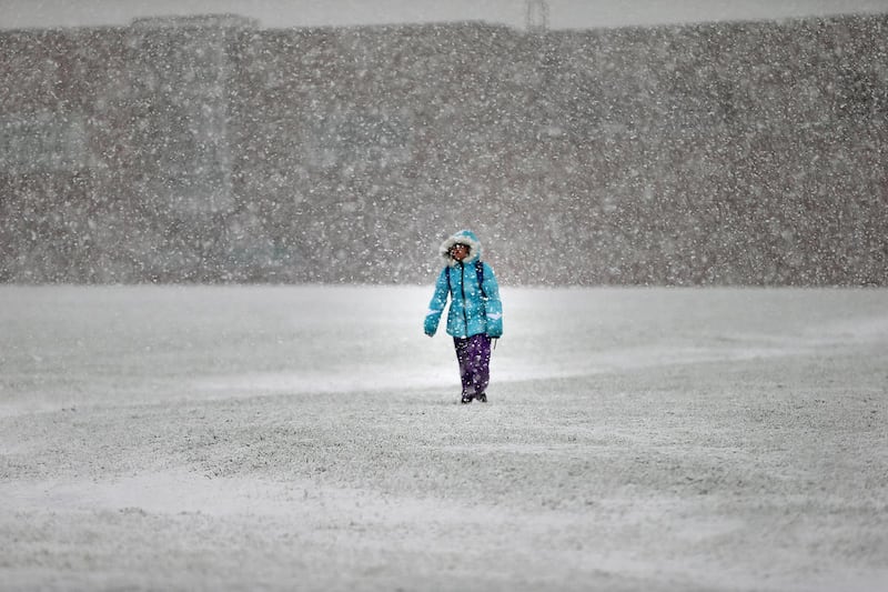
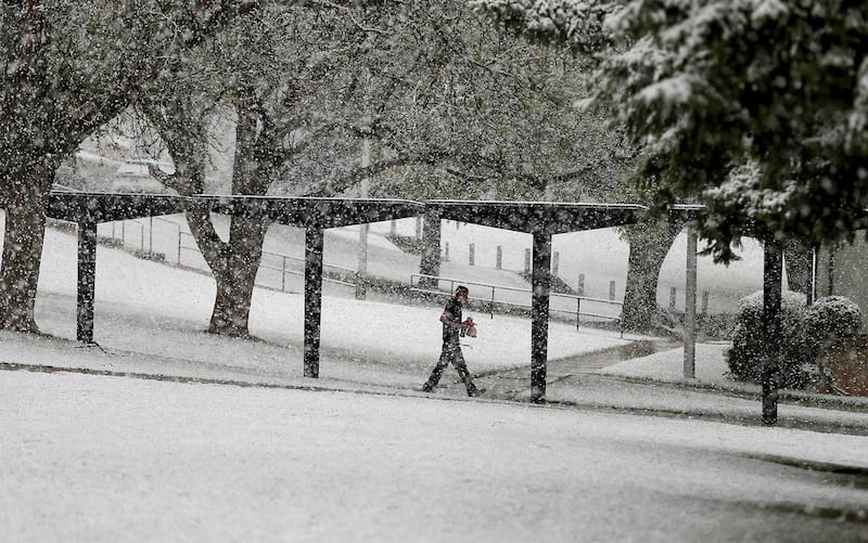
In addition to the wind throughout Tuesday evening, rain and snow began falling throughout much of the Wasatch Front in the afternoon. More than a quarter-inch of rain was reported in Bountiful and Holladay, and the Bountiful bench got more than 2 inches of snow.
A deep freeze advisory, issued by weather service officials, is in effect in southwest Utah through 9 a.m. Wednesday.
Winds are expected to die down to 10 mph to 20 mph about 10 a.m. Wednesday, but an inch or two of snow in the valleys along the Wasatch Front was a possibility overnight and into morning commute times, Guthrie said. Snowfall on the roadways will likely melt relatively quickly, he added.
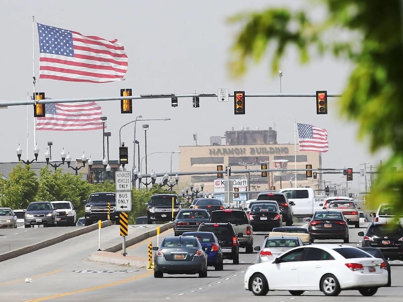
High winds also caused delays at Salt Lake City International Airport, which saw 0.15 inches of rain in addition to 64 mph winds. According to the airport's Twitter account, a ground stop was temporarily issued on departures due to the wind. Fifteen flights were diverted, and there were other residual delays because of the 30-minute stop.
The severe weather had consequences throughout the state, leading to large fires, power outages and damage to homes, businesses and vehicles.
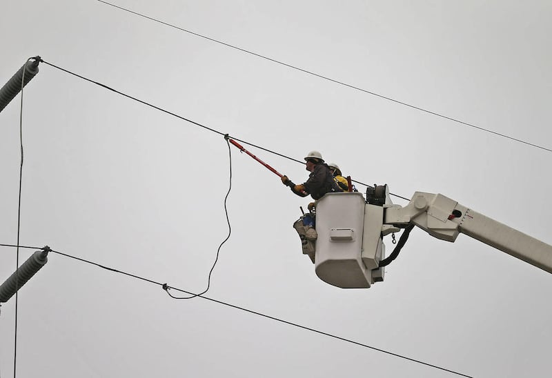
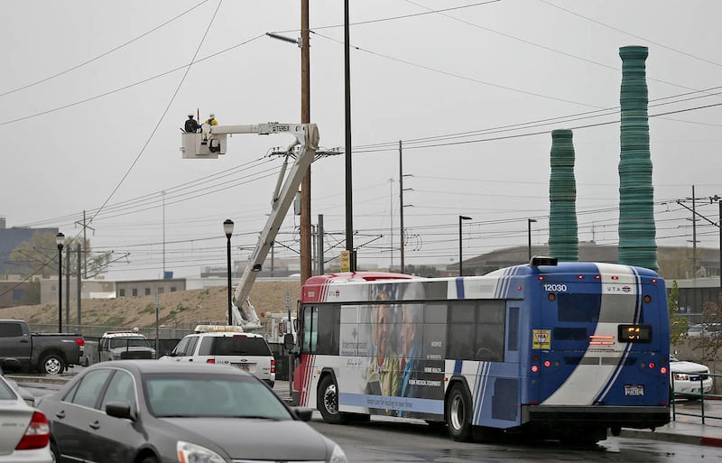
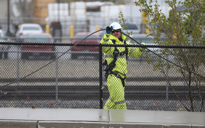
Tens of thousands were left without power, including more than 9,000 in Salt Lake City. Several thousand were also left without power in Rich County, Ogden and West Jordan. A power outage at Murray Central Station caused 40-minute delays for FrontRunner passengers throughout Tuesday evening.
The numerous outages resulted from a host of damaged power poles and transformers, Rocky Mountain Power spokesman Paul Murphy said.
"We've had to call in a lot of extra crews, and they're working through the night," Murphy said Tuesday. "They will be working the areas most affected and then try to reach all of our customers throughout the night."
High winds in southern Utah made a wildfire near Fish Lake difficult to contain as it damaged multiple summer homes and caused the closure of U.S. 40. In Wasatch County, powerlines downed because of wind caused a fire that torched more than 200 acres near Strawberry Reservoir.
In Bountiful, the roof of My Fashion Corner was peeled back because of an apparent microburst, breaking sprinkler pipes in the ceiling and flooding the business.
"It peeled back … like a can opener," said South Davis Metro Fire Chief Jeff Bassett.
Bassett added that a power pole in Bountiful nearly bent over I-15, which would have necessitated closing the freeway just before rush hour. Rocky Mountain Power crews arrived just in time to steady the pole, he said.
Eagle Mountain city officials warned residents on their Facebook page Tuesday afternoon that tumbleweeds had entirely walled off the roadway at the north end of Lake Mountain Road and northbound Eagle Mountain Boulevard.
Salt Lake Community College closed down its airport center and Library Square because of weather concerns.
Elsewhere in Salt Lake City, 10 homes near 700 North and I Street were evacuated and two sustained minor damage in a 100-acre brush fire. Fire officials determined the blaze was caused by power poles damaged in high winds.
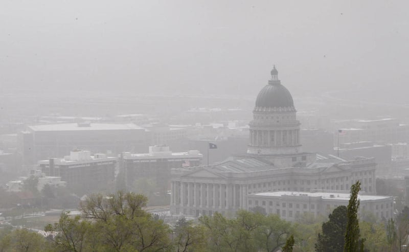
Bo Call, manager of the air monitoring section with the Utah Division of Air Quality, recommended that people stay inside during excessively windy conditions.
"Some of the PM2.5 have just really shot up," he said of the tiny particles that make the air appear hazy when levels are elevated.
PM10 levels, larger particles, shot up to 471 in Ogden, 393 in North Provo and 884 in Lindon. The unhealthy level of PM10 for a 24-hour period is 255.
"It's not going to be pleasant while you're in it, but it's kind of like standing around a campfire," Call said. "When the smoke drifts toward you, you don't like it a whole lot. Either you hold your breath or you move to the side."
The particulate levels can really go up quickly, he said.
"On the same end, it can go down just as quickly," Call said. "If this comes through and we start getting the rain that they hope that we're going to get, then the numbers will just drop right off because the rain will come in and wet everything down and it will quit blowing around."
Bob MacFarlane lives in Draper about 1 ½ miles from a gravel pit at Point of the Mountain. He said the wind really stirred things up Tuesday.
"It's just kind of like a fine layer of dust, the kind that gets in through the heating and air conditioning system," he said. "It happens over time, but it's kind of spiked up today."
MacFarlane said he could run his fingers through a film of dust, or the PM10 particles.
"It's not like a disaster, but it's just kind of unhealthy indoor air quality," MacFarlane said.
When he did go outside, he decided to wear a mask.
"My lungs are kind of burning, but that was more from being outside than inside," MacFarlane said. "It's pretty intense out there."
Contributing: Ben Lockhart
Email: ebench@deseretnews.com