
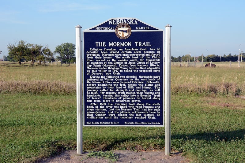

As Brigham Young and the first pioneer company of The Church of Jesus Christ of Latter-day Saints continued west in eastern Nebraska, they had to follow on the north bank of the Loup Fork River until they could find a place to cross it.
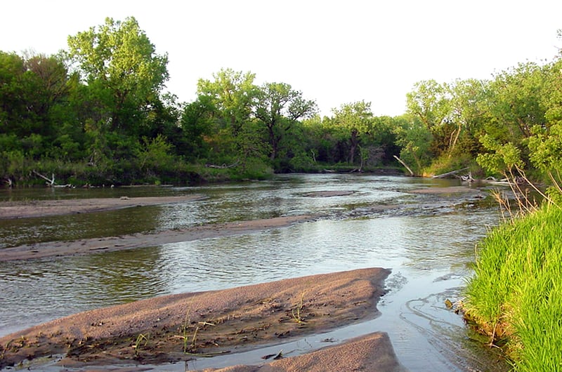
That being done, they journeyed southwest until they came to the Wood River and, once again, to the Platte River. They soon came to a site where the many channels of the Platte braided every which way creating numerous islands.
The largest of these was known as Grand Island. At that time, the island was some 45 miles long and two miles wide (see William G. Hartley and A. Gary Anderson in "Sacred Places, Vol. 5," edited by LaMar C. Berrett).
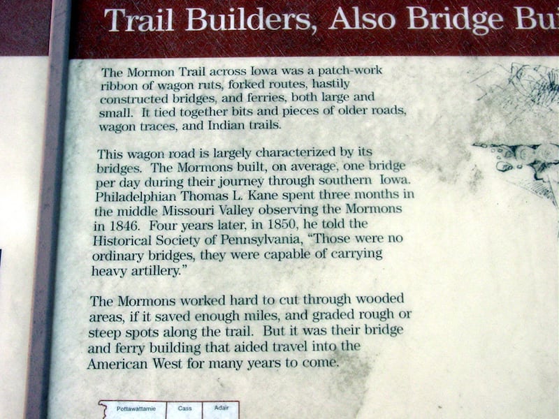
It was now late April 1847. The company had travelled just over 200 miles from Winter Quarters. Except for on the island itself, timber was extremely scarce. Journals note that as the company lumbered along, there was considerable discouragement because of the stark, monotonous landscape of the Platte River Valley, an “endless, dreary waste.” Other concerns were the Native American presence, their cattle mixing with vast herds of bison and the lack of good water and firewood (see "The Gathering of Zion" by Wallace Stegner).
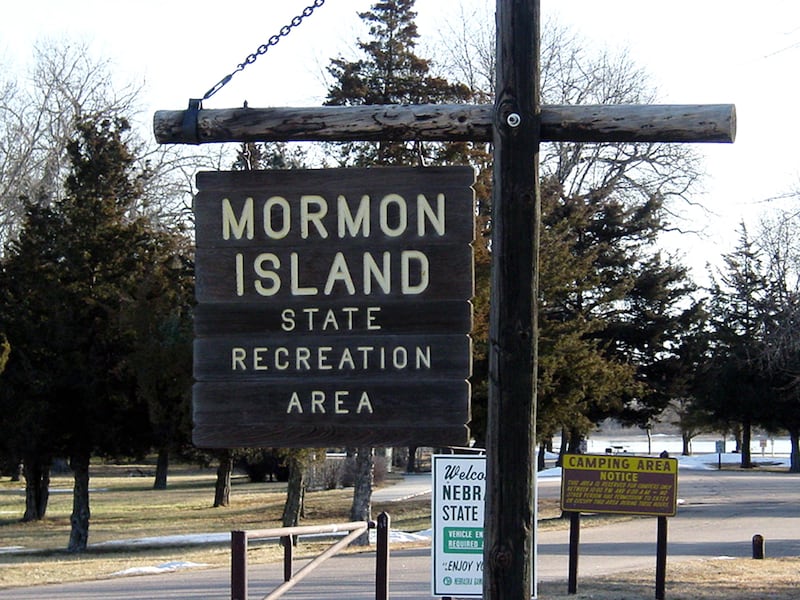
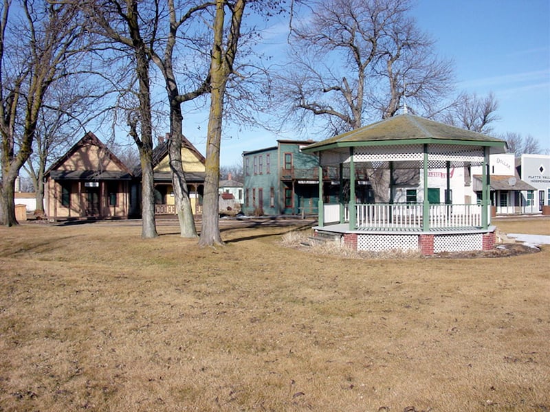
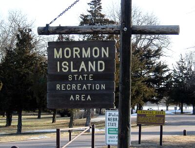
Presently, exit 312 on I-80 in Nebraska is about 7 miles south of the city of Grand Island. Immediately off that exit is Mormon Island State Recreation Area, which refers to the Latter-day Saint presence during that pioneer period. Several miles north of that site is the Stuhr Museum of the Prairie Pioneer. This excellent complex includes several displays and insights interpreting the Mormon Pioneer Trail.