
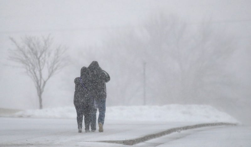

SALT LAKE CITY — Close to 70 million Americans are in the path of a “bomb cyclone,” which is predicted to strike the central part of the country this week, bringing snow, hail and rain along with it, according to CNN.
- The intense winter storm will bring blizzard conditions with hurricane-like winds and potential for flooding as well.
- This storm — called a “bomb cycle” — occurs when there is a really quick pressure drop within 24 hours in a process called “bombogenesis,” according to CNN.
- The storm will sweep right through the Rockies, the Upper Midwest, the central and northern Plains and more of the U.S. heartland.
- Colorado, Wyoming, Nebraska and South Dakota have all issued blizzard warnings for the storm, CNN reports.
Utah: The Beehive State appears to be on the back end of the storm.
Snow showers will push through the Beehive State Wednesday, according to Dan Guthrie of KSL Weather. Northern Utah will see the heaviest amount of snow in the morning. The Salt Lake Valley will see increased lake effect showers.
“In general, northern valleys will see a couple inches, mainly on grassy surfaces, but there will be several spots that will see snow/slush on the roadways,” according to Guthrie. Showers will wrap up on Thursday morning.
Travel: The National Weather Service for Salt Lake City said on Wednesday it might be better to wait until Thursday to start traveling.
- The National Weather Service said on Tuesday that those in Boulder, Colorado, should cancel all travel plans for Wednesday afternoon. The snow is expected to create near zero visibility and dangerous road conditions.