
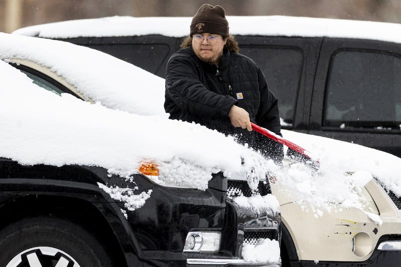
Had it not been for the past week, it would have been difficult to believe there was a winter in Utah this year.
Nearly one-third of the statewide snowpack collection has come since Feb. 11, and many communities in the state experienced their first real winter storm of the year on Wednesday. However, Utah’s snowpack remains at just 65% of the median average for this point in the year and 46% of the median peak over the past 30 years.
Will the stormy trend continue into meteorological spring to improve these totals?
There’s some good and bad news, according to a three-month outlook that the National Weather Service’s Climate Prediction Center released on Thursday.
The agency offers some hope that stormy conditions will continue, especially in Utah’s northern half next month, but, overall, it says that the odds lean slightly toward drier-than-normal conditions developing across Utah and most of the West throughout March, April and May, combined.
Even with this week’s surge, the Natural Resources Conservation Service projects there’s a 30% probability that Utah will set a record-low snowpack this year. That’s compared to a 10% chance there will be enough storms to have a normal season.
The new outlook isn’t ideal, but it might not be too bad, said Glen Merrill, a hydrologist for the National Weather Service, as he explained expected patterns earlier this month.
“It’s definitely leaning far away from that 10% of getting back to normal ... but it also doesn’t look like the worst-case scenario,” he said.
A potentially record-breaking winter
Utah’s lousy snowpack is primarily tied to temperature. The state’s average temperature in December and January — the first two months of meteorological winter — was the warmest in at least 131 years by over 2 full degrees from the previous record set in 1981, per federal climate data.
Several National Weather Service sites report average temperatures over 5 degrees above normal through the first three weeks of February, potentially securing that this winter will be the warmest on record.
It’s been fairly dry, but not to the same extent. The largest issue is that — aside from the past week — mostly mild storms had produced more high-elevation rain, factoring into why Utah’s snowpack collection dipped into the lowest levels since at least the 1980s until this week.
Snowpack accounts for about 95% of the state’s water supply.
What’s in store for this spring?
Long-range outlooks indicate that storms are more likely to continue in Utah’s northern half toward the end of February and the start of March. The region is also listed as having “equal chances” of wetter, drier or closer to normal precipitation for the rest of March, per the Climate Prediction Center.
The agency lists the rest of the state as having a 33% to 50% odds of below-average precipitation next month, with southern Utah having the strongest odds.
That trend is expected to expand throughout the rest of spring. Almost all of Utah is listed as having 33% to 50% odds of below-average precipitation throughout the season, with even stronger odds in parts of its southeast corner.
Above-normal temperatures are also projected to continue in Utah this spring, which could lead to warmer storms or an earlier spring snowmelt.

It’s not all bleak, though. Long-range outlooks have seemingly indicated that many spring storms may enter the Pacific Northwest and potentially stay north of Utah, Merrill explained. The Pacific Northwest and Northern Rockies have equal precipitation odds for the rest of spring.
If it becomes an active pattern in the Pacific Northwest, there’s hope some storms could dip down into Utah, depending on each storm’s trajectory. It’s possibly why many parts of northern Utah still have a 28% to 32% chance of above-normal precipitation this spring.
“Where that delineation actually lines up, we’ll see. But that’s the trend, and that’s really the only thing we can hang our hats on when you look that far out in time,” Merrill said, adding that this outlook could help Utah avoid its lowest snowpack peak on record.
The lowest statewide snowpack in the modern era remains 10.2 inches of snow water equivalent set in 2015. Utah’s snowpack, as of Friday, is 2.8 inches below that mark, meaning that another storm as productive as this week’s pattern could push this year’s total close to or over that.
Utah water managers are still holding out hope for more storms, which are also needed to get back to the annual median average of 16 inches. They’re also preparing in case that doesn’t happen.
Utah Division of Water Resources officials are urging residents to find ways to conserve water in case there isn’t a great spring runoff this year, or in future years. Nearly 95% of the state also remains in moderate, severe or extreme drought, too.
“We appreciate the good storm. Now we need several more,” said Joel Williams, the division’s director, in a statement on Thursday. “We’ll need consistent snowstorms to make up for the snow deficiency we have been experiencing this winter.”