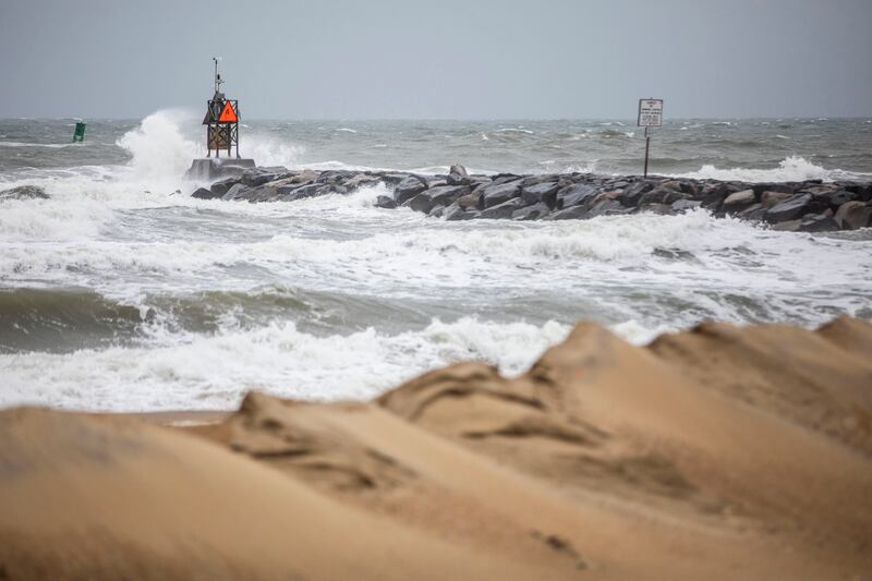
Tropical Storm Ophelia formed Friday afternoon, nearing hurricane-level strength as it approaches the East Coast, aimed toward North Carolina. The storm will bring heavy winds to the East Coast this weekend, with weather including strong winds, rough surfs and coastal flooding, according to the National Hurricane Center.
As of Friday afternoon, Ophelia “was located about 120 miles southeast of Wilmington, North Carolina area with sustained winds of up to 70 miles per hour,” per ABC. Category 1 hurricanes have wind speeds ranging from 74-95 miles per hour. ABC also estimated that “the storm is currently moving north-northwest at a speed of 13 miles per hour.”
North Carolina’s coast from Surf City to Ocracoke Inlet is under a hurricane watch.
The surrounding areas from Surf City to Bogue Inlet, North Carolina, along with Pamlico and Albemarle Sounds, North Carolina, are under a storm surge watch through Saturday evening.
A storm surge watch means there is a possibility of “life-threatening inundations” and people in affected areas are encouraged to “take all necessary actions to protect life and property from rising water and the potential for other dangerous conditions,” per the National Hurricane Center.
Ophelia is predicted to bring 6 inches of rain to large parts of North Carolina and Virginia, 3 or more inches to southern New England, and “heavy rain” to Washington, D.C., Philadelphia and New York City, per ABC.
The National Hurricane Center also forecasted storm surges in southeastern Virginia, the Outer Banks, Chesapeake Bay, Surf City, several other locations in North Carolina and other coastal zones. The Outer Banks were predicted to see the highest flood surge at 3-5 feet. Southeastern Virginia and other coastal zones were forecast to have a 3-4 foot flood surge.
More specifics on which areas will be affected and how can be read on the National Hurricane Center’s website.
If Tropical Storm Ophelia reaches hurricane Category 1 status, homes’ roofs, shingles, siding and gutters could be damaged. Fallen branches and trees also potentially may cause “damage to power lines and poles,” leading to “power outages that could last a few to several days,” per KCRA.
New Jersey is predicted to experience 25-50 mph winds, flooding and heavy rain up to 4 inches, per CBS.
The mayor of North Wildwood, New Jersey, Patrick Rosenello, told Fox, “We’ve been watching this storm for over a week now and of course we were hoping that it was going to go the opposite way … we are preparing, especially tomorrow afternoon’s high tide for some moderate and (potentially) major flooding along the Jersey shore. That’s really the biggest concern right now.”


