
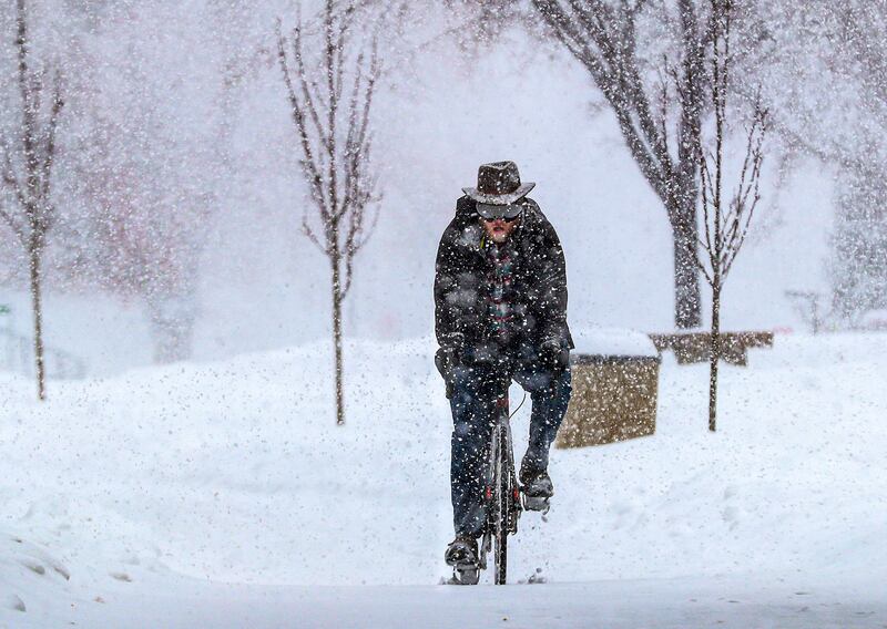


SALT LAKE CITY — Some sledded, several skidded from the road and many others simply stayed home Monday as heavy snowfall piled up across the Salt Lake Valley.
Although multiple businesses, schools and city offices delayed opening or stayed closed, there were still a number of people on the road, which caused scores of accidents throughout the day.
The threat of a dicey commute remains for Tuesday. Chillier overnight temperatures and an additional sprinkling of lake effect snow are expected to create icy roads and poor visibility in pockets of northern and central Utah.
“It will be a slick morning commute in the Tooele Valley and the west side of the Salt Lake Valley,” said KSL-TV meteorologist Kevin Eubank. Monday, he added, was the snowiest day Utah’s capital city has seen in roughly seven years, since Jan. 27, 2013.
The snowfall set another record. By early evening, 8.6 inches had fallen at the Salt Lake City International Airport, the National Weather Service reported, shattering the previous record for the date — 7 inches in 1936. The powdery snow coated the tops of cars and buildings like pillowy meringue on a pie.
It created a less-than-sweet experience for many travelers, however. Five departing flights and five flights set to arrive in Salt Lake City were canceled. Others were delayed from an hour to an hour-and-a-half Monday.


On Utah’s freeways, slushy roads kept Utah’s highway troopers busy.
From midnight through about 7:45 Monday evening, the Utah Highway Patrol responded to 313 crashes and slide-offs, the majority of those in Salt Lake County.
Troopers only reported one injury. UHP Sgt. Nick Street said that happened in a crash between a semitrailer and a Lexus on I-15 in Utah County. The injury was not considered to be life-threatening, he said.
About 2 p.m. a UHP sergeant’s patrol truck was hit. The sergeant was conducting traffic control on the ramp from state Route 201 to eastbound I-80 when his vehicle was hit. Fortunately, he was standing outside of his truck at the time and was not injured.
The UHP strongly urged people who have to drive to slow down, for their safety and the safety of troopers assisting other motorists. In 2019, 33 patrol cars were hit, the majority of those crashes were during snowstorms, the highway patrol stated.
“Watch your speed. Following distance is critical,” said Street. Normally, drivers should leave 200 feet of distance. “On snow days, you need to double, triple that amount distance to make sure you have enough time to react to that adverse situation in front of you.”
A number of schools along the Wasatch Front closed on Monday due to the storm. Students in the Salt Lake City, Provo, Alpine, Jordan, Canyons, Murray, Nebo, Juab and Beaver school districts had a snow day.
The University of Utah, which had canceled morning classes, ultimately announced that afternoon and evening classes would not be held, either. Westminster College, LDS Business College and Salt Lake Community College also called off classes for the day.
FrontRunner trains from Woods Cross to Draper were experiencing up to an hour delay, according to Utah Transit Authority. The northbound train from Woods Cross to Ogden was running about 30 minutes behind schedule in the morning. Those delays were reduced later during the day.
By Monday evening, Sandy had 17 inches and Cottonwood Heights had more than 18 inches. As of the afternoon, the latest figures available showed Bountiful had 13 inches of snow and Smithfield 7.5, according to the National Weather Service.
The Utah Avalanche Center also issued a special advisory that included warnings to avoid steep terrain, even in valley and bench locations.
After a break with some sunshine on Tuesday, the another round of snow on Wednesday and Thursday is expected in the Salt Lake Valley, the National Weather Service reported. Chillier temperatures may warm up by the weekend, giving way to rain or a wintry mix.