
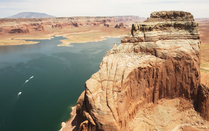
SALT LAKE CITY — Visitors to Lake Powell may not be fully aware the many of geologic hazards, particularly rockfall and flash flooding, which are widespread and have caused injuries and fatalities in the area.
But the Utah Geological Survey, in an effort to help the National Park Service manage and mitigate natural hazards, has completed a geologic hazard investigation of two high-use sections of the recreation area: a 297-square-mile area near the Bullfrog and Halls Crossing Marinas, and a 117-square-mile area centered on the Wahweap and Antelope Point Marinas near the Utah-Arizona border.
Results of this investigation include, among other things, detailed geologic-hazard mapping that covers flooding and debris flows, rockfalls, landslides, soil erosion, rock hazards, surface faulting and earthquake-induced liquefaction.
According to report lead author Tyler Knudsen, “Alcoves make attractive, sheltered places to moor your boat. Unfortunately, they also often produce rockfalls, so the more time spent beneath an alcove, the greater your chance of impact. Additionally, many of Lake Powell’s alcoves lie beneath the hanging mouths of normally dry drainages. These “dry falls” are not always apparent from below until it rains, and potentially damaging waterfalls suddenly plunge to the lake or canyon bottom below.”
Officials hope that education about these geologic features can help boaters recognize signs of rockfall hazard and then avoid these areas as much as possible.
The study is available in PDF format for free from the UGS website at ugspub.nr.utah.gov/publications/special_studies/ss-166.pdf. Print-on-demand copies are available for purchase from the Natural Resources Map & Bookstore at 1-888-882-4627 or mapstore.utah.gov.