

The Wasatch Front is under a winter weather advisory from midnight Tuesday into 2 a.m. Wednesday as a massive winter storm marches steadily from the West Coast to the East Coast, delivering deadly below zero temperatures, in some areas copious amounts of snow, winds and messed up travel plans.
It has already started in the Pacific Northwest, where snow began to fall Tuesday and several inches of the precipitation caused traffic headaches.
The timing of this cross-country winter storm, according to Accuweather, could not be worse, as millions rush to finish their shopping or embark on their holiday travels. During the period from Dec. 23 to Jan. 2, 112.7 million people are expected to travel more than 50 miles from home, according to the American Automobile Association. Some major airlines are already offering travel waivers for change fees or schedules that get bumped.
Forecasters predict that by Wednesday afternoon snow will hit Denver to Minneapolis and Thursday, the Great Plains could see a foot or more.
Blizzard conditions are likely by Friday as strong winds blow all that snow around in the Chicago area.
Bone chilling cold: The storm is accompanied by life-threatening cold, according to reports by ABC indicating the temperatures in Denver may remain below zero throughout Thursday, making it the coldest day in eight years.
Temperatures could reach minus 40 degrees in Montana on Thursday, with the wind chill making it feel like minus 60 degrees, making it possibly the coldest air for the region in almost 40 years, according to ABC.
Deep freeze in the deep South: ABC projects this cold will move into Texas, the Gulf Coast and Florida on Friday and will last through Christmas weekend. On Christmas morning the wind chill is forecast to be 24 degrees in Houston, 23 degrees in New Orleans and 32 degrees in Tampa.
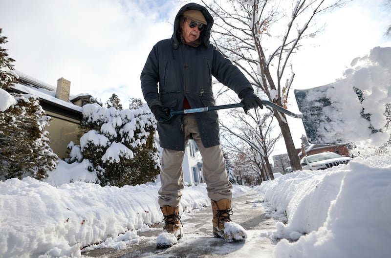
Utah and this winter storm: You can expect some snow in the mountains and a little on the valley floors in northern Utah, beginning Wednesday and leaving by Thursday.
“This is a grazing storm rather than one that delivers a direct hit,” said Jon Wilson, meteorologist with the National Weather Service in Salt Lake City.
Wilson said as northern Utah dries out Thursday, that is when the extreme cold will hit, particularly in areas like Cache and the Bear River valleys, with temperatures plunging below zero. Some areas along the Wasatch Front could also hit single digits.
As for whether it will be a white Christmas this year, it depends on your perspective.
“We will have snow on the ground, but we won’t have snow falling that day,” he said.