

A late-season monsoonal surge helped Utah avoid having one of its driest summers in 130 years, but some counties fared better than others this past season.
Utah collected an average of 1.6 inches of precipitation throughout the meteorological summer months of June, July and August, which was a little over an inch lower than the state’s 30-year normal, per data released by the National Centers for Environmental Information on Tuesday. This summer also ended up being the state’s driest since 2020, and the 18th driest overall since statewide records began in 1895.
Approximately two-thirds of the state’s seasonal precipitation fell in August, which helped this summer avoid placing in the bottom 10 all-time. This summer had been on pace to be Utah’s fifth-driest summer on record after July.
Utah also ended the season with an average temperature of 72.1 degrees Fahrenheit, tying 2017 as the sixth-hottest summer on record.
Where it did and didn’t rain
All 29 of Utah’s counties ended up with below-normal precipitation levels, but some areas fared better than others. Box Elder County performed the best when compared to its summer average, ending up with its 51st driest summer on record at 1.72 inches. It was followed by Iron (40th driest), Garfield and Kane (each 29th driest) counties, and Washington County (27th driest).
Most counties ended up with summer precipitation totals that were in the bottom 20 all-time, but it was driest in parts of the Wasatch Mountains and in central Utah. Summit County still wound up with 1.74 inches of precipitation — 2.74 inches below its average — leading to its fifth-driest summer on record. Sanpete and Millard counties also wound up with totals in the bottom 10 in their respective histories.
The differing totals across counties and regions follow this summer’s abnormal storm patterns, said KSL meteorologist Matt Johnson. Utah’s weather in June and July was dominated by persistent low-pressure systems in California, and high-pressure systems set up south and east of its usual Four Corners region, which resulted in fewer storms and more dry air in the state.
That continued into August, but the state’s fortunes changed toward the end of the month. A more normal-looking summer monsoon system set up during the second half of the month, leading to storms returning to the state. Many counties ended up with August precipitation collections that were close to normal, but it was nowhere near enough moisture to make up for the losses in June and July.
Northwest Utah was an outlier in August, receiving much more rain than it typically does. The I-84 corridor, from Box Elder County through Burley, Idaho, is an area primed for monsoon thunderstorms because of the amount of atmospheric lift needed to create storms, Johnson explained. Little blips of energy in the atmosphere aided in the process last month.
“Sometimes you’ll get these little anomalies where you just have enough lift, you have enough moisture. It happened enough times that you put down some rain and actually did quite well,” he said.
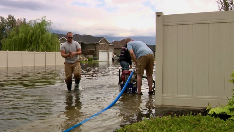
Box Elder County posted its 13th-wettest August on record, and Weber County ended up with its 20th-wettest August, which also caused some problems. Communities in that area, like Farr West and North Ogden, ended up with flooding after collecting more than 4 inches of rain from one storm.
August’s assistance
Yet, the late-season storms were quite beneficial in high-elevation areas. Utah’s average soil moisture level at 144 mountain sites had fallen to record-low levels by August, but those levels jumped to closer to normal by the final week of the month.
Some additional storms at the beginning of September have kept levels close to normal to start meteorological fall. A more fall-like storm pattern is in the forecast for this week, and long-range models hint that another storm could be in the wings following that.
Every storm is important for two key reasons, Johnson said. First, nearly 80% of Utah remains in severe or extreme drought, while the rest is in moderate drought, according to the U.S. Drought Monitor. Only 45% was listed in severe or extreme drought at the start of the summer, and 75% in any form of drought, showcasing how quickly the state dried out.
Second, wetter soil moisture levels ahead of the upcoming snowpack collection mean more water collected during the winter ends up in the streams, creeks and rivers that flow into the state’s lakes and reservoirs rather than going back toward recharging underground sources next spring. Snowpack accounts for about 95% of the state’s water supply.
Utah’s reservoirs dropped from a peak of 87% capacity in June to 63% as of Tuesday, per state data.
Long-range models still lean toward a drier fall, but every incoming storm offers hope that Utah could have a more normal season to chip away at the drought and keep soil moisture levels strong ahead of the winter.
“If we can keep slinging these (low-pressure systems) in ... that would be ideal,” Johnson said. “This helps a ton.”