
This month’s storms continue to work their magic when it comes to Utah’s drought situation.
Approximately 1.9% of Utah, including most of Davis and Salt Lake counties, and parts of Tooele, Utah and Weber counties, are now considered “abnormally dry,” according to the latest U.S. Drought Monitor report released on Thursday. While small and not completely off the drought report, it marks the first time since early July that any part of the state wasn’t listed as experiencing moderate drought or worse.

About 98% of Utah remains in at least moderate drought, but the constant barrage of storms in recent weeks has helped lessen the severity statewide. The amount of Utah in extreme drought is now 6%, down from 13% last week and a peak of 18% in late August. Areas in severe drought dropped slightly from 59% to 55%.
The report is based on conditions as of Tuesday. Utah’s improvement follows the impacts of Hurricane Priscilla’s remnants, which delivered more than an inch of rain across most of Utah. Some areas received multiple inches of precipitation, including over 5 inches in New Harmony, Washington County.
“Late-season tropical moisture surged into the Four Corners states, bringing heavy to excessive precipitation to large parts of Arizona, western New Mexico and eastern Utah,” wrote Rich Tinker, a National Weather Service meteorologist and drought expert, in the Drought Monitor report.
“Improvement was also noted in scattered areas across central and western Utah and southwestern Montana,” Tinker added.
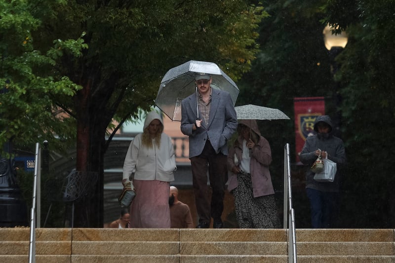
Additional showers since Tuesday have only tacked onto October precipitation totals. Some places now considered abnormally dry, like Salt Lake City, have already broken monthly rain totals. Utah’s capital city has now received close to 5 inches of rain this month, making October its fifth-wettest month since at least 1874.
The timing doesn’t change much in terms of summer irrigation, as consumption increased again this year along the Wasatch Front, but it could set the region up for a healthy snowpack to replenish its water supply, according to Laura Briefer, director of Salt Lake City Department of Public Utilities.
That’s because wetter soil moisture levels end up consuming less water collected during the winter snowpack when it melts in the spring, meaning more of it flows into rivers, creeks and streams that flow into the lakes and reservoirs.
“A wet fall is really ideal for a good, efficient runoff for our water supply purposes in general,” she told KSL.com on Tuesday. “This is a good thing for us.”
Utah residents are still urged to conserve water despite the recent storms.
Long-range outlooks hint that more storms could reach Utah by the end of the month, potentially improving drought conditions even more. Those outlooks now list most of Utah in “equal chances” for the rest of the calendar year, meaning it could end up wetter, drier or near its normal.