
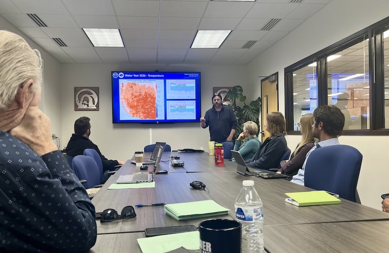
Glen Merrill posed a question as he walked to the front of a room full of weather forecasters, hydrologists and other water experts.
“Who in this room can actually remember a year in the past that was similar to what we’ve been experiencing this year?” asked Merrill, a hydrologist for the National Weather Service, before sharing a set of concerning maps, graphs and other datasets showing the state of Utah’s snowpack on Thursday that left some shaking their heads.
While this group — convened for their first of a few meetings over the next few months to discuss Utah’s water availability — is used to Utah’s weather variability every year, this winter has perplexed them in a new way.
That’s because Utah hasn’t lacked precipitation since the 2026 water year began in October, but it has struggled to produce snowpack, a measurement of water within snow. Snowpack accounts for about 95% of the state’s water supply as it’s collected in reservoirs.
Precipitation at Utah’s mountain snowpack locations since October is 104% of the median average for this point in the year, but the state shattered warm temperature records in November and December. It’s left the statewide snowpack at just 63% of normal, and one of the lowest levels since at least the 1980s, according to Natural Resources Conservation Service data updated on Thursday.
This is mostly because there’s been very little snow in areas below 9,000 feet elevation, said Jordan Clayton, a hydrologist for the Conservation Service.
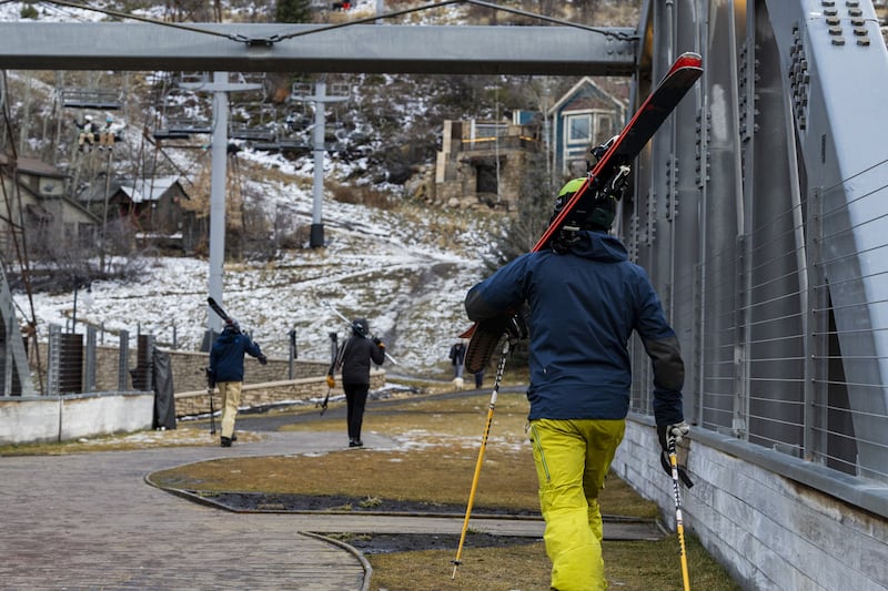
He points out that record-low conditions are being reported across nearly one-fifth of the agency’s network, while it’s been a fairly normal year for many high-elevation sites. Salt Lake City has collected only 0.1 inches of snow this season, putting it on pace for its least snowy winter since records were established in 1874.
“I think what’s most concerning to me is that we only have a little over two months to go until we get to our typical snowpack peak, so we’re kind of running out of time to catch up,” he said.

Can Utah turn it around?
There are storms in the state’s immediate forecast, but it isn’t expected to produce much, Merrill said. Long-range outlooks aren’t promising until about mid- to-late February, which is why he projects Utah’s snowpack will decline to record-low levels by then.
That stormy activity may linger into March, but it’s still too early to know if those can produce lower-elevation snow or if the trend of warmer storms will continue. The state’s snowpack typically peaks in early April, melting after that.
Utah only has about a 30% chance of having its snowpack return to normal, and a 10% chance of ending up with a record-low snowpack collection this year, Clayton said.
There are some good signs in the data, though, which play into the oddity that has been this winter.
Soil moisture levels are well above normal statewide, and drought conditions have slightly improved since the water year began. It should allow for improved snowmelt runoff in the spring, if there’s snowpack to melt. An emergency manager in northern Utah even reported strong flows into artesian wells because of the precipitation levels, Merrill said.
Potential water impacts
It’s too early to say what this means for water supply or water conservation measures, but the room agreed their first outlook wasn’t ideal.
Spring runoff peaks are currently expected to reach 50% to 70% of median averages across many areas, said Nanette Hosenfeld, senior hydrometeorologist for the Colorado Basin River Forecast Center. That could change with the end of the snowpack collection season, but she said it would take something significant to make up for lost ground.
“I think that’s the best you can hope for at this point, is that we’ll have a normal year. We’re not expecting to see anything above that,” she said.
Utah’s reservoir system remains at 72% capacity statewide, which is slightly above normal for this point in the year, but the low snowpack outlook could mean less water to refill them than usual this spring. Some areas are faring better than others, as well, based on last year’s snowpack, which was normal across northern Utah, but below normal elsewhere.
As such, water managers and consumers may face another year of challenging decisions, said Gary Henrie, a civil engineer at the U.S. Bureau of Reclamation. This could include more calls for water conservation among water users.
“We’re really not comparing to any good years. This isn’t anything to write home about,” he said. “Water managers really will have — likely, if things stay the way that they are — have some tough decisions about water supply this year.”