
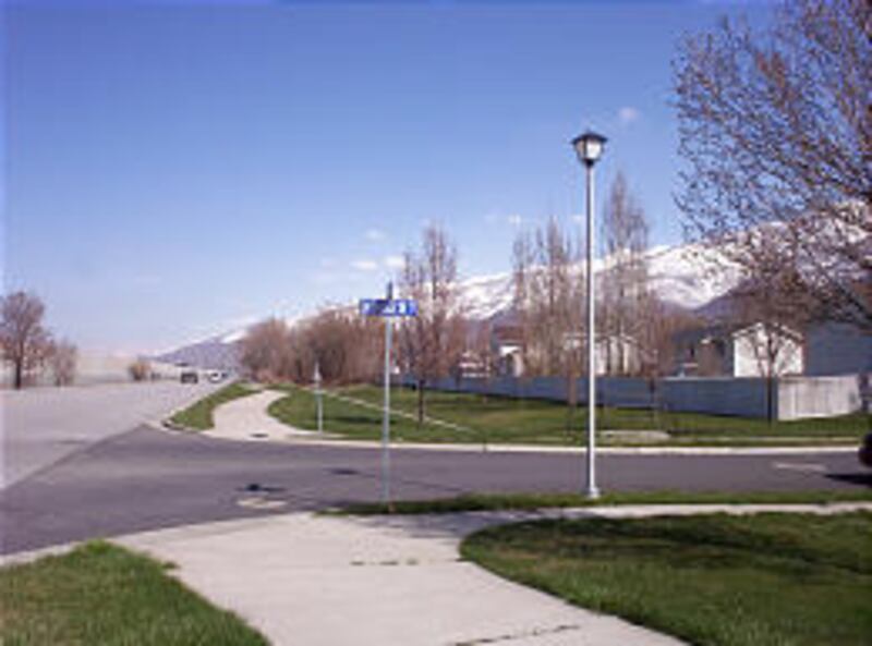
Name or number — what's the designation of the street you live on in Davis County?
More than 1,400 streets in Davis County use proper nouns for designation, instead of numbers.
While there may be an equal number of streets identified by numbers only (and some that use both), Davis' roads with names include a variety of intriguing oddities.
Three Davis County communities — Clinton, Sunset and Syracuse — prefer streets named with numbers and only have two to three streets using nouns as names. That's probably not only because of traditions set decades ago but because emergency responders prefer numbered addresses, since they are generally easier to locate.
The other 12 cities in Davis County use a mixture of numbers and nouns for their names.
Street names can obviously add flavor to a neighborhood, while names by numbers do not.
According to Harris Adams, Layton and Davis County historian, not all of the county's pioneer era street names have survived to the 21st century.
For example, Antelope Drive in Layton — the street Adams resides on — used to be called Straw Street. Adams said that's because it was a clay-based road in its early days and had to have a lot of straw thrown on top of it to make it passable. In later years, Antelope Drive (2000 North in Layton) was known as Syracuse Road. The Antelope designation took hold in the late 1960s, when the state of Utah purchased Antelope Island and the highway was a straight shot to the causeway that was built to travel across the Great Salt Lake.
Hill Field Road, the busiest nonfederal or state road in Davis County and passing by the Layton Hills Mall, used to be known as Easy Street in pioneer times. Why that was the case is not clear.
In the early 1990s, the Layton City Council proposed renaming the Hill Field Road Freedom Boulevard. The Utah Department of Transportation assumed the road would be renamed, and it even switched many signs along the roadway. However, a few days later the actual motion to rename failed by one vote. UDOT then had to switch the signs back, and some longtime Layton leaders found the "Freedom" signs to be collector items.
Fiddlers Creek Lane was the original name for Rosewood Lane in Layton. It was named after some musicians who lived on the street. Later some confusion led to the Rosewood designation. Some subdivision developers have revived the Fiddlers Creek name in recent years.
Gentile Street in Layton was originally named for a non-LDS Church member who married a Mormon woman and lived on the street, as well as for others who, though probably LDS Church members, were believed by some not to be of the faith. Hence the name Gentile, meaning any person who was not Mormon, was applied to the road.
Ironically, there are three chapels of The Church of Jesus Christ of Latter-day Saints located along Gentile Street today, plus a Kingdom Hall of the Jehovah's Witnesses.
Fort Lane in Layton was called that after a pioneer fort, "Little Fort" (actually a collection of wooden cabins banded together), located there. Before Hill Air Force days in the 1940s, the road used to go northward all the way to South Weber, where there was another fort. Kaysville had the area's biggest fort of that area in the mid-1850s. Fort Lane also used to follow a crooked path and was straightened out in 1893.
Some other roads have retained their pioneer flavor.
For example, Mutton Hollow Road on the Kaysville-Layton border, is named for a former sheepherder who lived in that area. Bluff Road in Syracuse and unincorporated Davis County recalls the Emigrant Road pioneer days of that path. Travelers would skirt the west side of this small hillside, going from south to north and avoiding some swampy areas. A monument in Syracuse commemorates this immigrant path.
Layton also has a series of Matthew, Mark, Luke and John streets in its northwest corner. Located just west of Main Street and south of Antelope Drive, these came about in the early 1960s when a subdivision was built there.
Harris said he was a member of the Layton City Council at the time and doesn't recall if they held any biblical significance. However, he said federal housing officials did not like the grid street layout that was proposed for the area. The subdivision was changed so that the area streets curved to resemble a "bull's-eye" shape, much to the delight of the feds (and the confusion of newcomers to that area).
One other fanciful tale of Layton's roads involves Angel Street. The legend of the highway's name involves an early settler who was in love with two women residing on the street. Not being able to decide between the two, he referred to them as his "angels." Hence the street's eventual name, though it is also identified today as 1200 West in Layton. Angel Street continues south into Kaysville as well.
Duplicates of some popular street names can also be confusing in Davis County — especially when the names repeat in adjoining cities. For example, Marilyn Drive exists in Layton, Clearfield and Syracuse. The streets do not connect and are separate local roads.
Davis County lacks the grid street system that Salt Lake County has, and so it is obviously harder to find many addresses there, but that can create an extra adventure for newcomers and visitors getting around in Davis.
Here's a sampling of the other unusual street names in various Davis County cities:
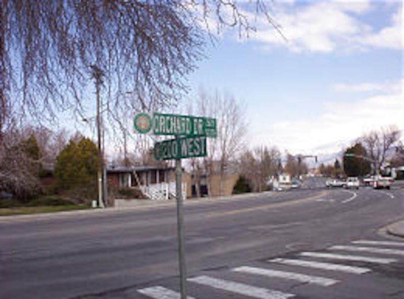
Bountiful — Orchard Drive and Peach Lane commemorate fruit-growing sections of town; various Sunset names likely highlight scenic evening views in the city; and Temple Hill Circle and Temple View Drive relate to the Bountiful LDS Chapel, which was opened in town about a decade ago. Turkey Shoot Drive is a strange street name here.
Centerville — This community has a bunch of "Old West" street names, like Jim Bridger Drive, Lewis and Clark Drive, Stage Coach Circle and Pony Express Way. Milky Way and London Drive are also found in town. Willow is also used in more than half-a-dozen street designations.
Clearfield — Airplane Drive and Hill Field Road both refer to the local Air Force base.
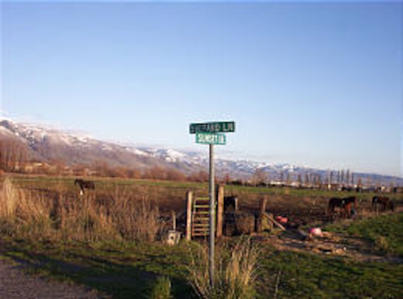
Farmington — Shepard Lane (also partially in Kaysville) is named after Isaac M. Shepard, pioneer, Farmington resident and watermaster in the area from 1849-59. Shepard and his family moved to Richmond in Cache County in the winter of 1859. (The street is commonly misspelled Shepherd.)
Doc's Way, Honeybee Circle, Land's End and other British street names, plus four Quail-named streets highlight this community.
Fruit Heights — Broken Fence Lane, Meetinghouse Road and Mountain Road are some of the town's best highway designations.
Hill AFB — Appomattox Circle, Iraquiose Street, Minuteman Avenue and Quience Street are its most unusual street designations.
Kaysville — Sunset Drive, Bishop's Street, Kings Court and Knights Way are among the city's most unusual names.
Layton — Sugar Street, Cherry Lane and Laytona are streets with old-time significance in the county's largest city.
North Salt Lake — Eagle's Nest (and other Eagle names), plus Excaliber and other names from King Arthur's time are among the highlights of street designations here.
West Bountiful — Olsen Farm Drive perpetuates the old farm heritage that one of the streets in town used to have.
Woods Cross — Governor's Circle, Mayor Circle and Senator Circle highlight some streets with government ties. Woods Crossing reflects pioneer heritage and is the city's namesake, and Hard Way is another unusual name in town.
E-mail: lynn@desnews.com