
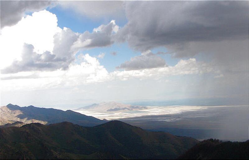
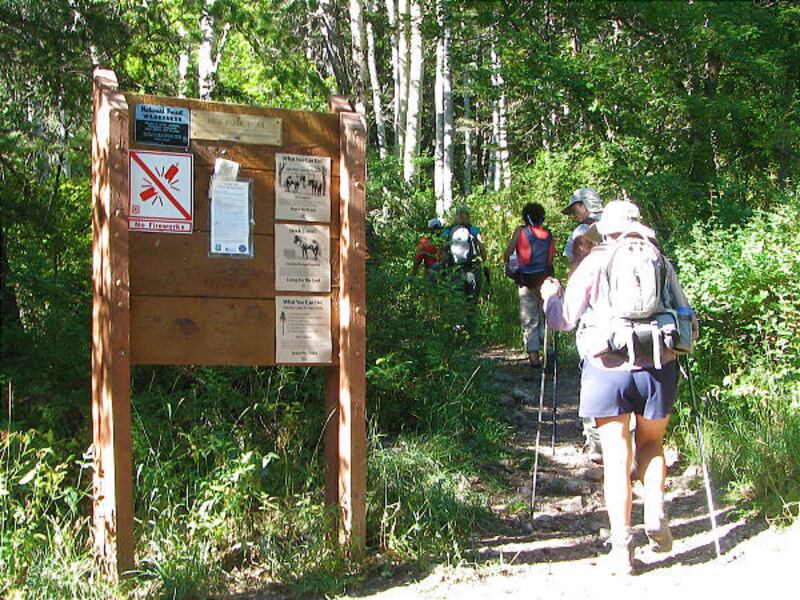
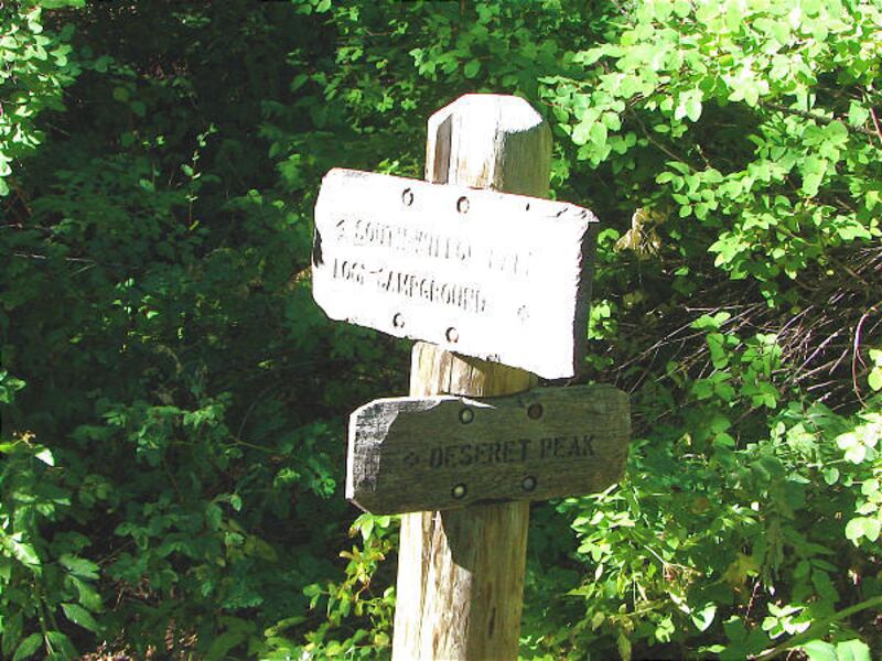
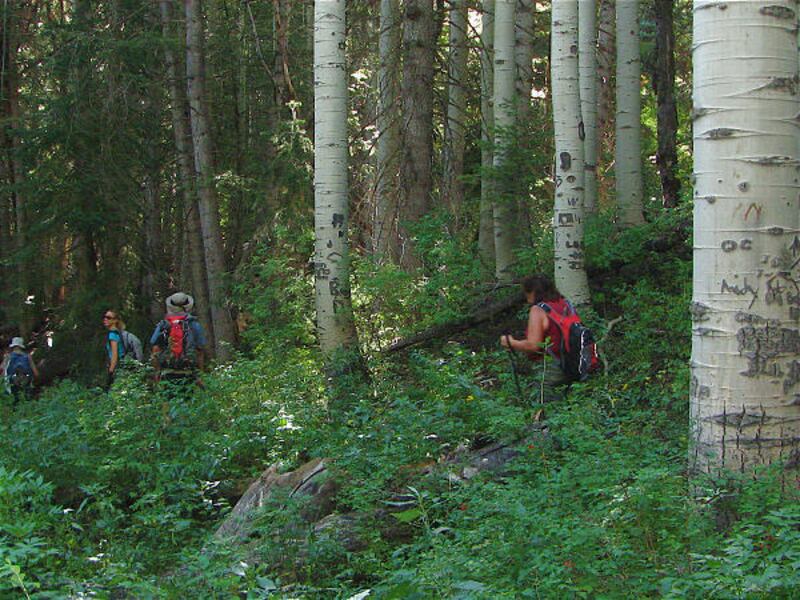
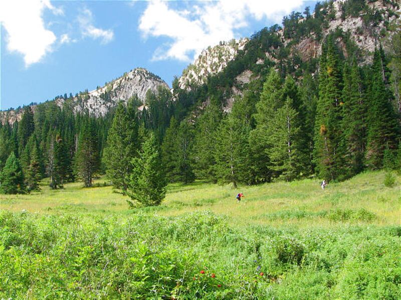
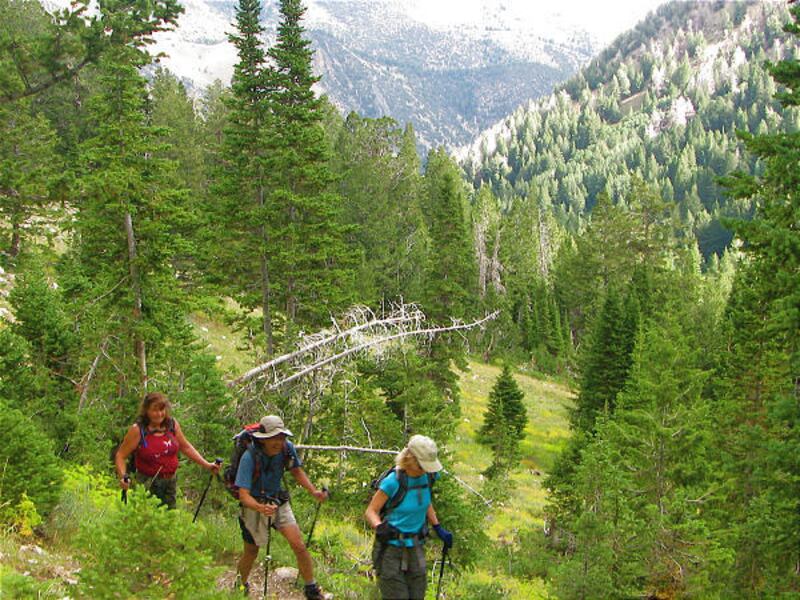
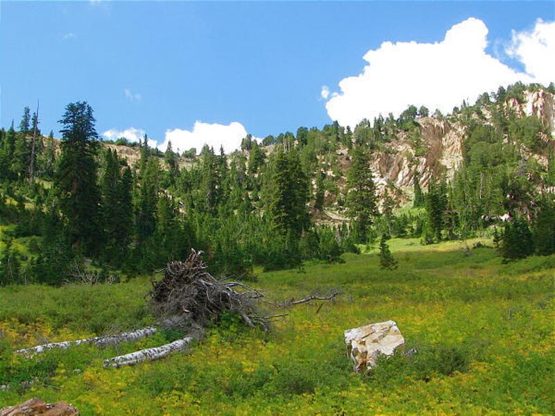
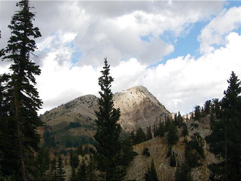
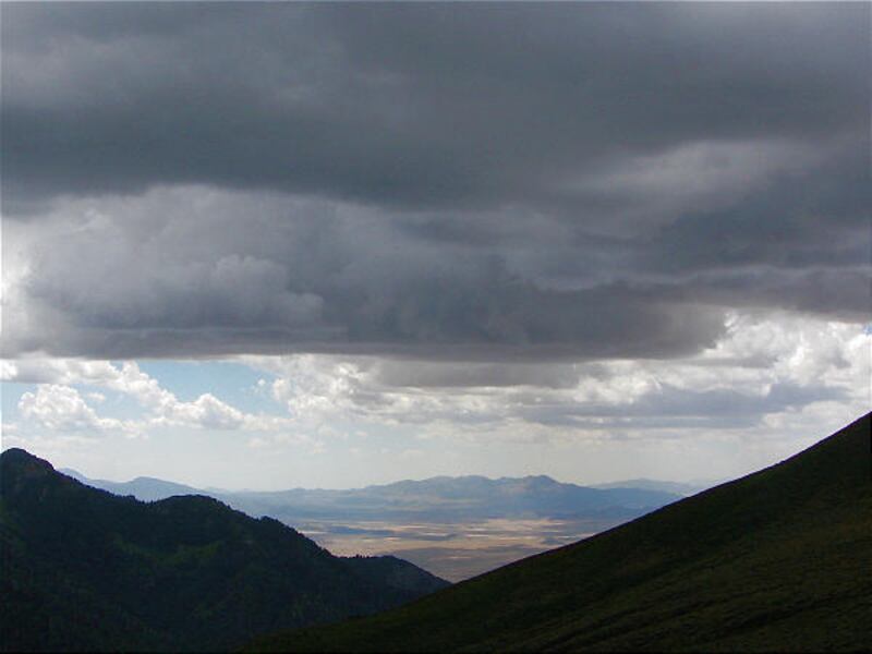
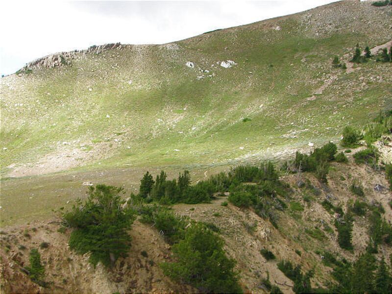
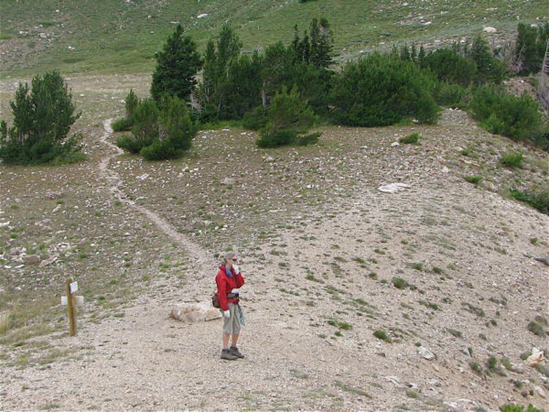
The weather can change quickly in the mountains, and knowing when to turn around is so important for your safety. This happened to the hiking group as we set out for Deseret Peak on a clear morning. The trail starts from the Loop Campground and heads for the Deseret Peak junction. At .75 miles, you cross the riverbed and turn left for the trail post. The trail smooths out after the junction, but that is short-lived as the path climbs in Mill Fork. As you enter Mill Fork, the trail opens and crosses the meadow to the other side. On the other side is the start of switchbacks to the ridgeline saddle. The switchbacks get your heart rate up, so take many breaks and check out the terrific views of the Great Salt Lake behind you. At 3.10 miles, you arrive at the saddle. When the hiking group arrived there, the wind were so strong it was hard to stand, and rain surrounded us. The conditions for lighting were too severe to continue to the peak. With only .90 mile left to reach the peak, it was a hard decision to turn back. For next time: The ridgeline the trail snakes up the barren ridge and goes around to the back side of the mountain. The view opens to Skull Valley, the Bonneville Salt Flats, Great Salt Lake and mountains in Nevada. I missed standing on one of my favorite peaks, so stunning!
Directions: In Grantsville, turn south on 400 West. Drive six miles and turn right on South Willow Canyon Road. It's about eight miles to the Loop Campground and trailhead.Destination Peak
Difficulty Difficult
Round trip 8 miles*
Hiking time 6 to 7 hours
Elevation gain 3,581 ft.
Trailhead restrooms Yes
Dogs allowed Yes