
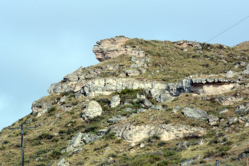
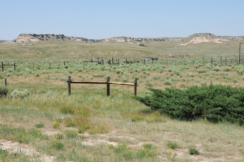
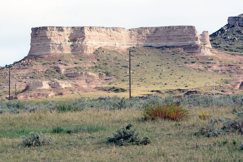

In May 1847, Brigham Young and the pioneer company trudged along the north side of the North Platte River in what is now Morrill County, Nebraska. The flat, sandy landscape was changing to limestone hills, bluffs and outcroppings.
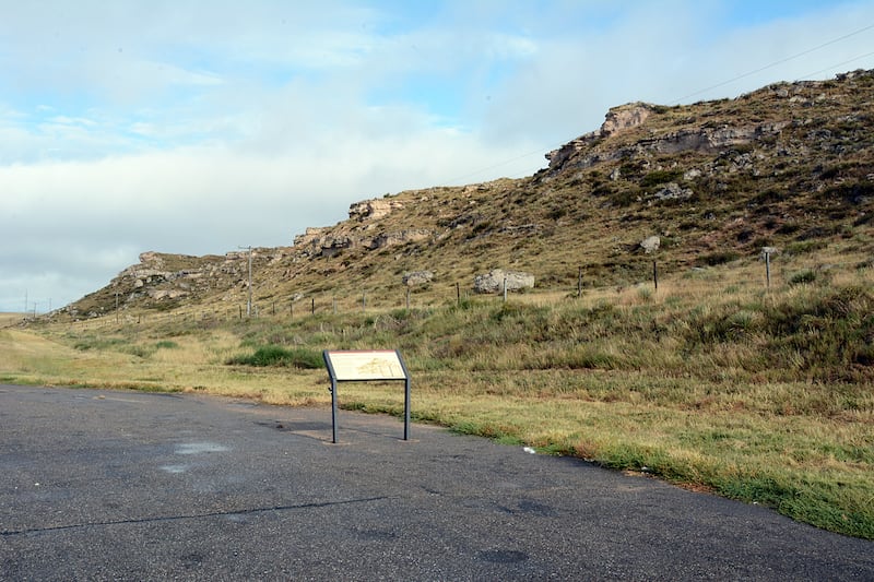
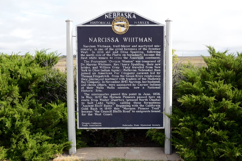
A National Park Service interpretive panel on U.S. Highway 26 just west of Lisco, Nebraska, notes that 31 miles west of Ash Hollow is a line of bluffs called Cobble Hills.
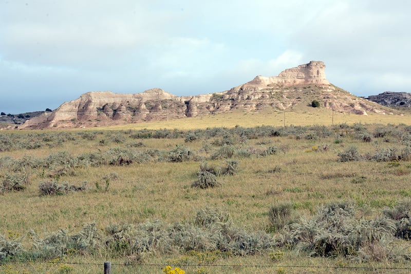
At this site, pioneer travelers who were members of The Church of Jesus Christ of Latter-day Saints could see imaginary characters in the topographical features. One of these was the image of a large frog in a rock outcropping. This was named Frog’s Head Bluff. Ascending this bluff, one could see Chimney Rock to the west with the naked eye.
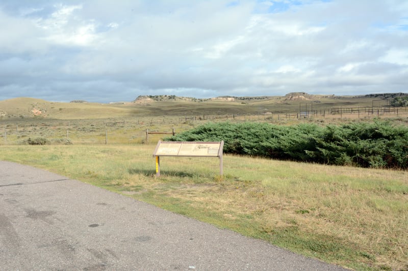
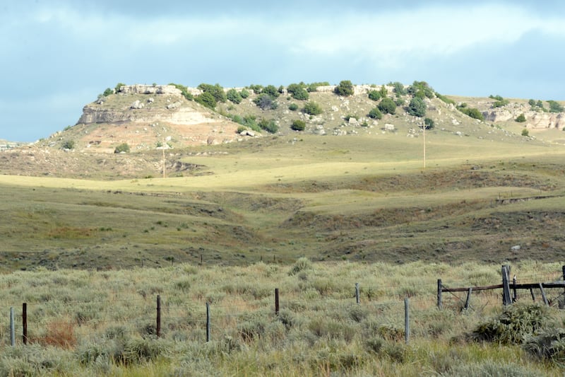
A few miles northwest near present-day Broadwater, Nebraska, was a series of bluffs that reminded the European Saints of ancient towers, castles and factories they were acquainted with before emigrating to America. They called this site Ancient Bluff Ruins, a name that has remained to the present day.
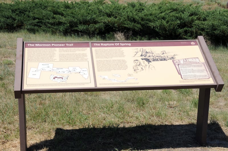
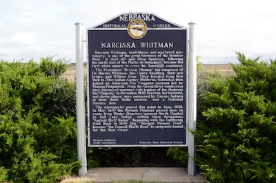
A panel on the north side of U.S. 26 interprets the view to travelers who stop to see the site, the rock formations and area where Brigham Young and the pioneer company camped. It also provides excerpts from the journals of pioneer travelers who were moved by the uniqueness of the scenery.