

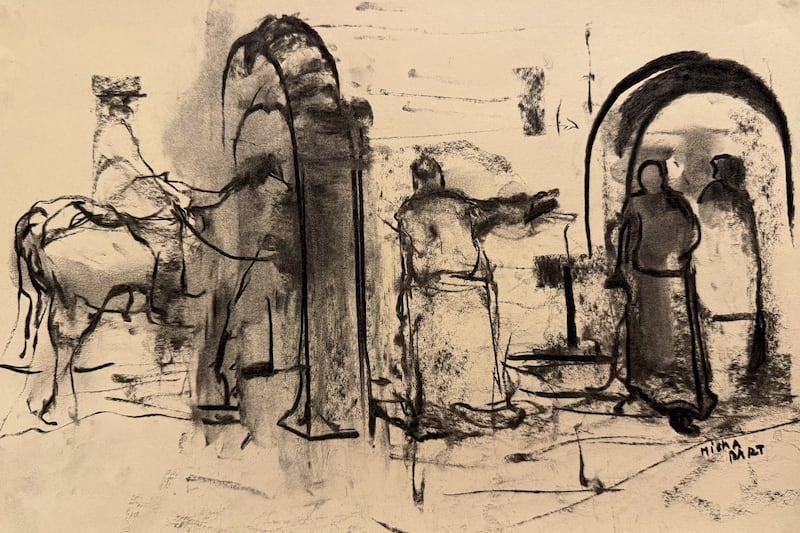

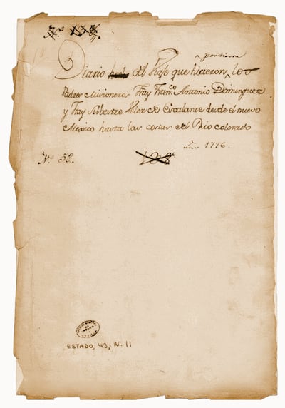
On the morning of July 29, 1776, more than 1,700 miles southwest of Philadelphia, a Franciscan friar pulled on the blue robes of his brethren who worked in the American frontier and sat down to write. As he composed a letter to his superior in Mexico City, daylight washed over the central plaza and the adobe walls of Santa Fe’s governor’s palace. Traders arrived from nearby villages with grain and woven goods, while soldiers crossed the square on morning patrol, kicking up dust with their boots. On the plaza’s south side, outside La Castrense — a one-story military chapel with a stone-carved altarpiece — many of the 2,000 townspeople gathered for a farewell.
Father Francisco Atanasio Domínguez and Father Silvestre Vélez de Escalante, joined by eight others, were setting out to find an overland route to Monterey, California — an ambitious attempt to link Spain’s scattered northern settlements. “For even if we should not attain our end,” Domínguez wrote, “the knowledge we could acquire of the lands through which we traveled would represent a great step forward and be of great use in the future.” After final prayers, they tightened satchels, loaded mules and rode north, disappearing into a vast landscape few Europeans had seen.
While the Declaration of Independence helped birthed a new nation in the East, the Domínguez-Escalante expedition told the story of another land in the making — the American West.
Today, the Dominguez-Escalante expedition is often absent from the story of 1776. Yet its impact was profound. Though they never reached California, the party traveled more than 1,700 miles across what is now Colorado, Utah and Arizona, creating some of the earliest maps and accounts of the interior West. Their records would guide trappers, explorers and settlers — including Latter-day Saint pioneers entering the Salt Lake Valley less than a century later. While the Declaration of Independence helped birth a new nation in the East, the Domínguez-Escalante expedition told the story of another land in the making — the American West.
New frontiers
By the late 18th century, Spain’s North American empire was stretched thin. Since the founding of New Mexico in 1598, settlers had pushed into Pueblo homelands, building missions in pursuit of Catholic conversion and securing a huge territory stretching from modern-day California to Colorado. Though the Pueblo Revolt of 1680 drove them out for more than a decade, colonial authorities returned and maintained their rule for nearly a century. By then, Spain’s northern frontier was a fragile chain of settlements in New Mexico and the borderlands of unfamiliar terrain they called New Spain.
North of New Mexico lay a vast network of Indigenous trade routes, largely controlled by Ute peoples. Spanish authorities restricted travel in this region, fearing attacks would provoke broader conflict. Traders ventured north anyway, returning with stories of distant lakes and mineral riches, along with fines for violating orders. In 1765, reports of silver-rich mountains convinced New Mexico’s governor to approve the first major Spanish expedition into Ute country. Led by explorer Juan María Antonia Rivera, the party traveled into present-day western Colorado and eastern Utah, likely reaching Moab. Rivera found no silver, but his journey showed that the interior West was open to further exploration.
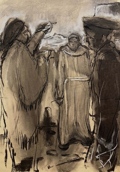
By 1769, Spain was busy expanding into Alta California. Its new settlements and missions, from San Diego to Monterey, relied almost entirely on supply ships from Mexico — long voyages vulnerable to interference from Russian and British rivals along the Pacific coast. To better secure the region, Spain needed a land route connecting New Mexico and California.
Escalante recognized the problem soon after arriving in New Mexico in 1774. Stationed at Zuñi Pueblo, he traveled west into present-day Arizona to consult Hopi leaders about possible westward routes. A southern path, he concluded, would expose travelers to Apache attacks. A northern route, though unprecedented, seemed more promising. Domínguez arrived in New Mexico around the same time. Nearly a decade older than Escalante, he had been appointed inspector of frontier missions, and directed by church officials to investigate possible Western routes.
“For even if we should not attain our end, which is to discover a route to Monterey from this kingdom, the knowledge we could acquire of the lands through which we traveled would represent a great step forward and be of great use in the future.”
— Francisco Atanasio Domínguez
When the two friars met in April 1776, Domínguez proposed they attempt the expedition together. Escalante would keep the official journal, and Domínguez would lead. To map the journey, they recruited Bernardo de Miera y Pacheco, a retired military captain, artist and one of New Spain’s finest cartographers. By summer, the expedition team was complete. Alongside Miera traveled Zuñi Mayor Juan Pedro Cisneros, blacksmith Joaquin Lain and five seasoned frontiersmen, including Andrés Muñiz, an interpreter fluent in Ute dialects. They brought 40 horses and pack mules, along with a small herd of cattle for emergency food. At the friars’ insistence, no one carried firearms. Before leaving Santa Fe, Escalante wrote to New Mexico’s provincial secretary, expressing confidence that God would guide them. They would go, he noted, “without noise of arms, which usually terrifies the tribes encountered on the way … I hold some probable hope that God will facilitate our passage as far as befits his honor, glory, and the fulfillment of the will of the all high that all men be saved.”
Into the unknown
Within days, the expedition veered off course. Traveling north into present-day Colorado, they found themselves lost in rugged canyon country near the Continental Divide. They followed Indigenous footpaths, rock ledges barely wide enough for their horses to pass. As they camped near streams along the Dolores River, illness soon spread, likely from contaminated water. On some days, progress slowed to a crawl.
Near the Uncompahgre (a Ute word meaning dirty water) Plateau in southwestern Colorado, they encountered their first traveler since leaving Santa Fe — a Tabeguache Ute man who accepted food and tobacco before describing the country ahead. Soon afterward, they met five Sabuagana Utes accompanied by a Laguna man the friars called Silvestre. In exchange for cloth, glass beads and a hunting knife, Silvestre agreed to guide them toward his home near Utah Lake, almost 300 miles away.
Before continuing, the Sabuagana band of Utes insisted the strangers visit their camp. After passing 80 mounted riders, the Spaniards entered a settlement dotted with dozens of tipis. Inside the chief’s lodge, negotiations dragged on for two days. Ute leaders worried that if enemies like the Comanche attacked the expedition, Spanish authorities might blame their people. Eventually, the travelers were allowed to continue with Silvestre, now joined by a 12-year old boy whom they named Joaquín, eager to see lands beyond his home.
As supplies dwindled, the men traded for grass seeds and wild berries before killing a buffalo for meat. By mid-September, they reached the Green River near present-day Dinosaur National Monument. They named it San Buenaventura — Spanish for “good fortune,” a nod to a Franciscan saint. Crossing into Utah, Silvestre hurried them west along trails through oak brush, their horses stumbling into mudholes.
“Tonight it was so cold that even the water which was near the fire all night was frozen in the morning.”
— September journal entry by Father Escalante
Near present-day Spanish Fork Canyon, they saw smoke rising in the distance. The Spaniards answered with their own signal fires but larger flames soon engulfed the valley. They were coming from Silvestre’s home, whose people had mistaken them for Comanche enemies. As armed men emerged in a hazy meadow, Silvestre rode ahead to reassure them the strangers came in peace.
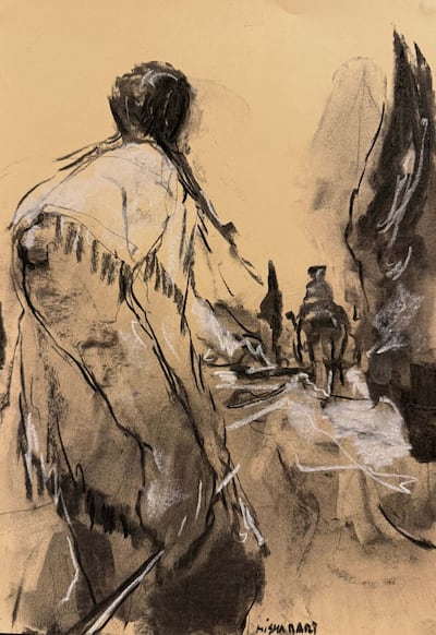
That night, tobacco and conversation eased tensions. Over the next two days, neighboring bands gathered to meet the Spaniards. Through Muñiz’s translations, the friars preached Christianity, baptism and future missions. The Utes showed interest and even offered land if the Spaniards returned, though each side likely understood the exchange differently — the friars focused on conversion, the Utes on alliance and trade.
“Inevitably, there’s going to be an inability to fully comprehend what the other is trying to get at,” says history professor Nick Saenz at Adams State University in Alamosa, Colorado. “One of (the expedition’s) goals isn’t necessarily to make new converts, but to identify which groups might be ripe for conversion.”
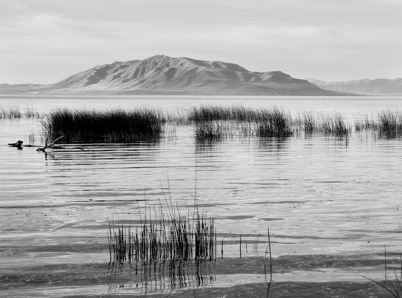
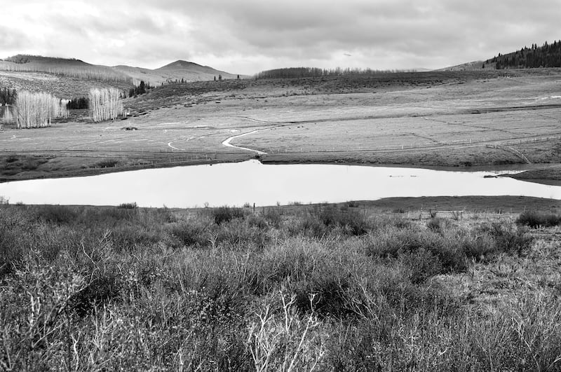
As a sign of friendship, the Utes guided the party toward Utah Lake. When the Spaniards reached the valley near present-day Provo, they were struck by its beauty. Four rivers flowed from the Wasatch Mountains into a broad freshwater lake ringed by lush meadows, timber and wildlife. For three days, the men explored the area and observed the lives of the Timpanogos people, whom the Spaniards called the “fish eaters” because of their lakeside diet. The Utes also spoke of a larger body of water to the north — a lake so salty, they said, it stung the skin. But with winter approaching, the expedition couldn’t afford to detour. They turned south, leaving the Great Salt Lake behind.
The long road back
Heading south across Utah’s western deserts, the travelers were desperate for water. On the second day of October, five riders left camp in search of it, returning nearly a day later with members of the Tirangapui band. After helping locate a missing rider, the friars preached in gratitude. When it came time to part, the band’s leader began to cry. Others joined him, their weeps echoing across the basin. Seeing how deeply the sermon had moved them, some of the Spaniards shed a few tears.
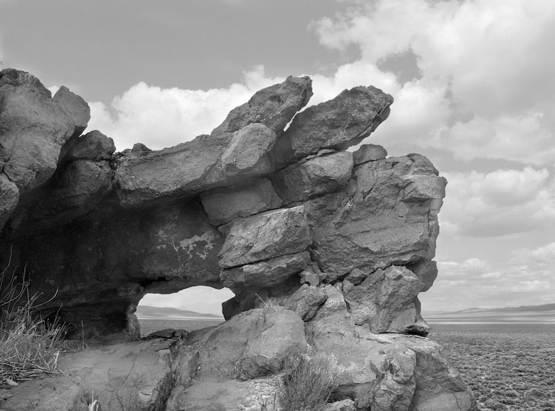
But when their guide disappeared one morning, survival overtook missionary work. That evening, a blizzard trapped the expedition near present-day Milford. With little firewood, the men huddled together, singing hymns as sleet turned trails into mud. By then, Domínguez and Escalante knew they would never reach Monterey before winter closed the mountain passes. North of present-day Cedar City, they stopped along a ridge overlooking what is now called the Escalante Desert. Unsure whether to continue west or retreat south, the friars cast lots to decide their fate. The answer pointed south.
The journey home, though drier and warmer, proved even harder. For about 80 miles, the expedition followed the base of the Hurricane Cliffs before finding its way onto the Arizona Strip, a remote plateau region that borders the Grand Canyon’s North Rim. With most supplies gone and cattle eaten, the men staved off hunger by boiling wild greens in sugar. Soon, they slaughtered a horse for meat, then another.
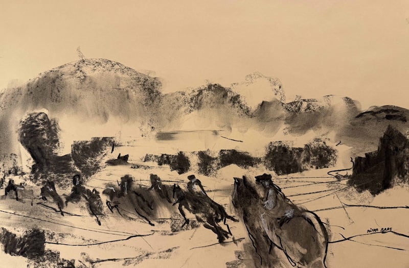
In late October, following directions from a group of Paiutes, they reached the Colorado River near present-day Lee’s Ferry at the top of the Grand Canyon. Rust-colored canyon walls closed in around the river, its relentless current churning through the gorge. Two men who tried to swim were swept downstream, and a makeshift raft broke apart in the powerful currents.
Unable to cross, they wandered five days in the Paria River canyon region until two of the men returned with hope — a possible ford beyond a steep climb onto a mesa and a descent into twisting gorges that reached the Colorado.
Nearly two weeks after their first failed attempt at Lee’s Ferry, they found a crossing just north of today’s Arizona-Utah border. They named it Sal Si Puede, “get out if you can.” At dawn, two swimmers tested the current while others carved footholds into the canyon walls with axes so horses and mules could descend. One by one, men and animals crossed. By sunset, as the last man climbed onto the far bank, Santa Fe no longer felt so far away.
The West on paper
On January 2, 1777, the expedition returned home. After a final stop at Zuñi Pueblo, where Escalante completed his journal, the weary travelers rode back into the same Santa Fe plaza they had left five months earlier. They delivered Escalante’s writings to colonial officials, but Bernardo de Miera y Pacheco had a final task — assembling the expedition’s most impressive achievement.
Across several drafts, including one painted on cloth, Miera y Pacheco sketched rivers, mountain ranges and Indigenous settlements on parchment, mapping lands no Europeans had seen before. By 1778, his revised map and Escalante’s journal had reached Mexico City and the court of King Carlos III in Spain. The mapmaker also recommended the crown establish missions and forts along the northern frontier, but Spain lacked the resources to expand further. The empire was already under strain, especially after joining the American Revolution against Britain.
No settlements followed and the expedition’s records remained unpublished for decades. Still, copies circulated among officials and scholars. In 1803, the Prussian naturalist Alexander von Humboldt incorporated parts of Miera y Pacheco’s work into his own maps after studying them in Mexico City. He also repeated several inaccuracies, including the belief that a river connected the Great Salt Lake to the Pacific Ocean. A year later, Humboldt shared his knowledge with President Thomas Jefferson, who had just completed the Louisiana Purchase and was hungry for information about America’s new lands west of the Mississippi River. The expedition’s record likely aided in establishing a southern trade route from Santa Fe to California known as the Old Spanish Trail.
“Those maps have an afterlife that is incredibly important,” Saenz says. “Even though it’s imperfect, you start seeing the Western part of North America coming into vision.”
By the mid-19th century, the expedition’s legacy had reached beyond its original purpose of Spanish expansion. Maj. Gen. John C. Frémont cited Escalante’s journals in his 1843 report on Utah, and relied on Humboldt’s maps during later expeditions. Four years later, Brigham Young, president of The Church of Jesus Christ of Latter-day Saints, led a vanguard company of pioneers into the Great Basin expecting fertile valleys and abundant water, after reading Frémont’s accounts. When they arrived in the Salt Lake Valley, they found much of the same landscape Escalante had described further south in Utah Valley more than seven decades earlier.
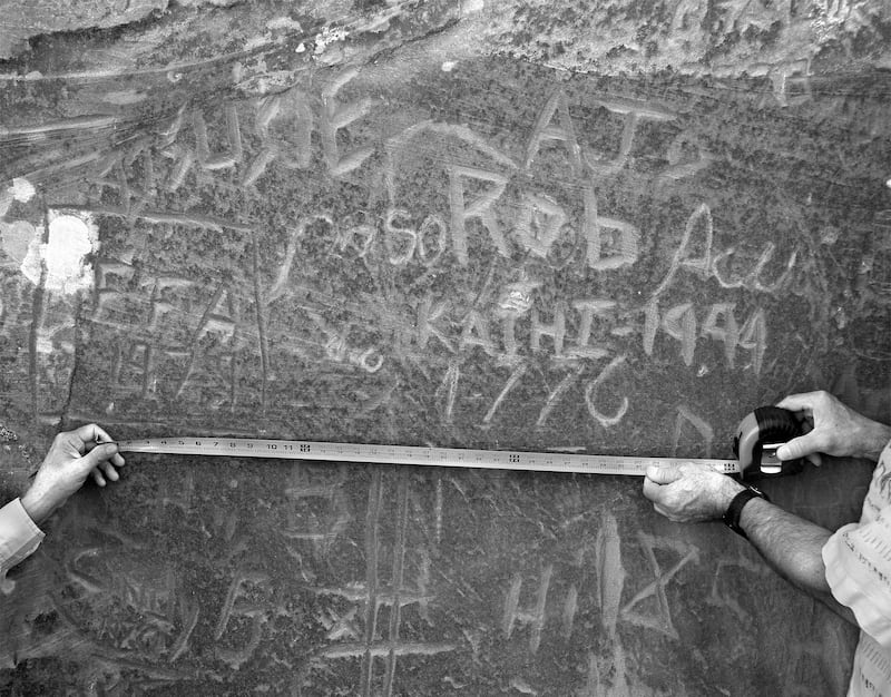
Today, the Domínguez-Escalante route — memorialized with crosses and markers installed centuries later — has changed beyond recognition. Highways cross plateaus once roamed by buffalo. Cities and towns populate the valleys. Reservoirs flood canyons that nearly trapped the travelers. The Colorado River crossing, now known as the Crossing of the Fathers, lies beneath Lake Powell. In 2006, volunteers removing graffiti near Padre Bay in Glen Canyon noticed a faint inscription etched into sandstone beneath newer markings. The cursive appeared centuries old: “Pasó por aquí, anyo 1776.” Passed through here, 1776.
This story appears in the July/August 2026 issue of Deseret Magazine. Learn more about how to subscribe.