
A casual observer might look at the 2,543% of median snowpack being logged in Utah’s Duchesne basin and become incredibly giddy — especially after suffering through the 2021 drought.
Not so fast.
Even a little bit of moisture above what is normal this time of year (and normal is dry) will severely skew the numbers and provide an extremely misleading picture of where the snowpack stands thus far.
Utah’s water year started just a few weeks ago, so any type of moisture is bumping up the measurement to an obscene amount.
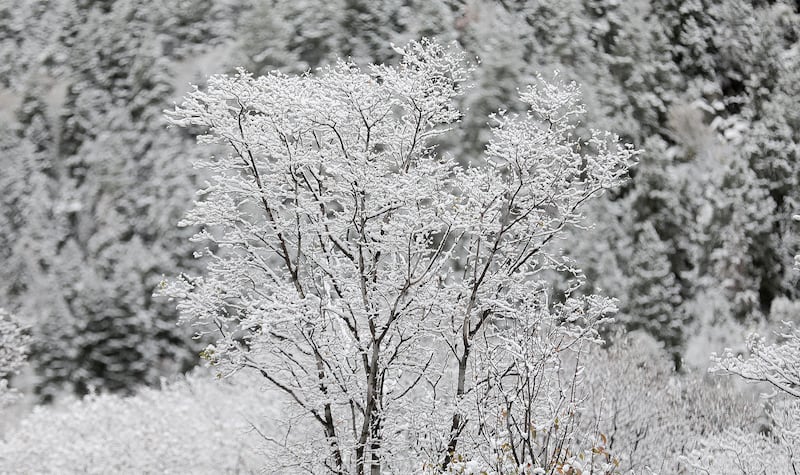
“So normally this time of year we have little to no snow so any amount of snow we accumulate is a great benefit,” said Jordan Clayton, supervisor of the Natural Resources Conservation Service’s Utah Snow Survey.
But anything beyond that median measurement, he said, “inflates” the value to an absurd quantity.
“The current statewide snow water equivalent is 2,500% of normal. It tells us we are off to a great start, but can’t take those values seriously.”
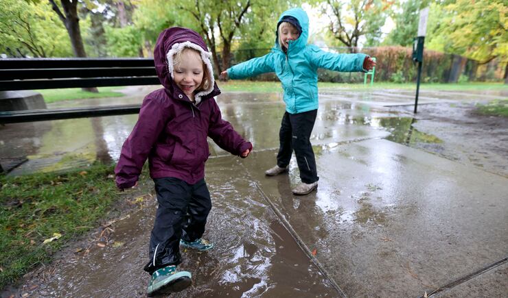
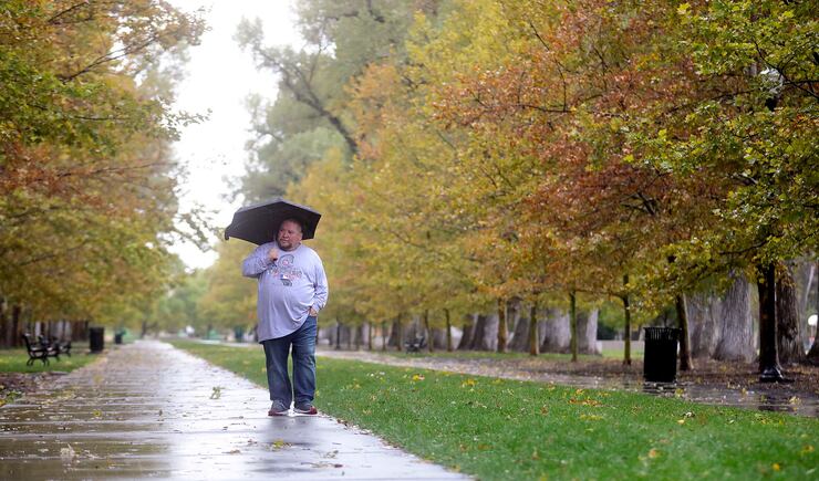
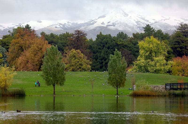
Still, an active monsoonal season in Utah helped boost soil moisture levels and these frequent fall storms are helping significantly.
“It is looking very likely that we will enter this ski season with above average moisture levels,” he said, adding that factor will help contribute to an efficient snowmelt season — unlike last year’s runoff.
An extremely dry summer and fall in 2020 led to a robbery of sorts and fears that there would be a repeat this year.
Much of the snow in the mountains was sucked up by incredibly dry soils instead of having that water delivered to creeks, streams and rivers that feed into Utah’s reservoirs.
“We saw a really poor return on our snowpack investment last year. This year it is looking like we will get a much better return on our snowpack,” Clayton said.
And the storms are headed this way again.
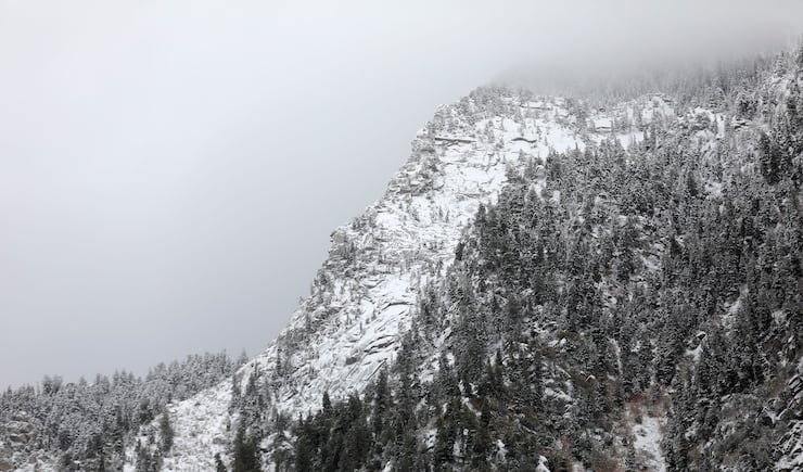
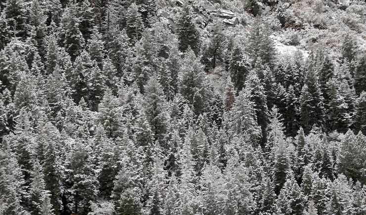
A strong Pacific Coast event will impact northern California in the Lake Tahoe region and parts of Oregon as well as British Columbia.
The National Weather Service’s Weather Prediction Center said the “atmospheric river” will deliver heavy rain and strong winds to the Pacific Northwest, as well as snow in higher elevations like the Sierra Nevada.
Parts of Utah are forecast to be on the periphery of the storm, with the National Weather Service in Salt Lake City saying hunters and others utilizing the outdoors should exercise caution and be aware of the change in the weather.
High winds with gusts between 45 mph to 60 mph are possible for western Utah and heavy mountain snowfall above elevations of 9,000 feet is being forecast.
A possibility of valley rain is being predicted for the Wasatch Front on Saturday into Wednesday.
Water watchers say the recent active storm patterns in the parched West are good news, impacting Utah’s water deficit by about 2 inches in particular.
Previously, the state needed 13 inches to crawl out of the water year ending in September, but now it sits at 11 inches, Clayton said.
“We’re still 11 inches in the hole. That is about a third of our annual precipitation budget. We would have to get a third more than what we normally get in a year to make that up. But we are off to a good start.”