

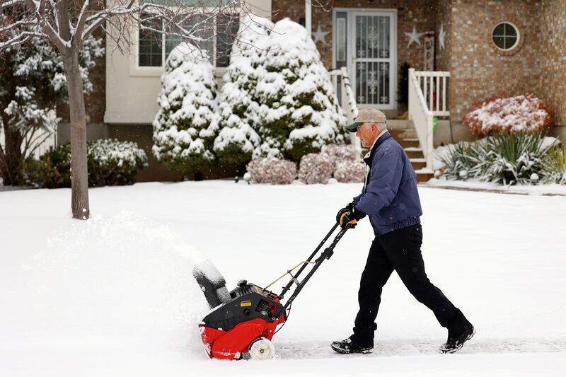
The National Weather Service on Tuesday night issued a new winter weather advisory for communities across the Wasatch Front, where another 1 to 3 inches of snow is projected to fall Tuesday night into Wednesday morning as a part of a storm system that first arrived Monday.
It joins similar advisories already in place for Utah's mountains and the Wasatch Back, as well as a winter storm warning issued for parts of the Wasatch and West Uinta mountains. The new valley advisory expires at 8 a.m. Wednesday, while the warning and other advisories expire late Wednesday afternoon.
"It's just going to add to what has been a very wet storm," said KSL meteorologist Kristen Van Dyke.
The storm already produced as much as 1.79 inches of rain in North Ogden, as of Tuesday evening. Sundance, Deer Valley and Brighton already received more than 1½ feet of snow by Tuesday morning, as the storm exceeds the initial forecasts.
Another foot of snow is expected overnight in addition to snow that fell Tuesday, Van Dyke said. The National Weather Service also reported that rain began transitioning over to snow in the Wasatch Front at around 7 p.m. Tuesday, about a half hour before the agency issued its advisory.
More snow is expected into Wednesday morning but the storm will clear out as the day continues. The Utah Department of Transportation warns that mountain passes and valley roads may remain slick during the Wednesday morning commute.
"Snow showers will continue behind the band into Wednesday morning, particularly for central and northern Utah and along the I-15 snowbelt," the agency writes. "These showers will arrive as temperatures fall, and will provide the best window for road snow impacts for the Wasatch Front. Some light road snow accumulations are expected overnight along I-15 from Point of the Mountain southward to around Cove Fort."
Drivers are advised to slow down and use caution.
Meanwhile, as of Tuesday night, the statewide snowpack is now up to 11.6 inches of precipitation since Oct. 1. That's 177% of normal for this point in the water yet and now 73% of the normal peak with 84 days left before when the snowpack collection season typically peaks, according to Natural Resources Conservation Service data.
Full seven-day forecasts for areas across Utah can be found online, at the KSL Weather Center.