
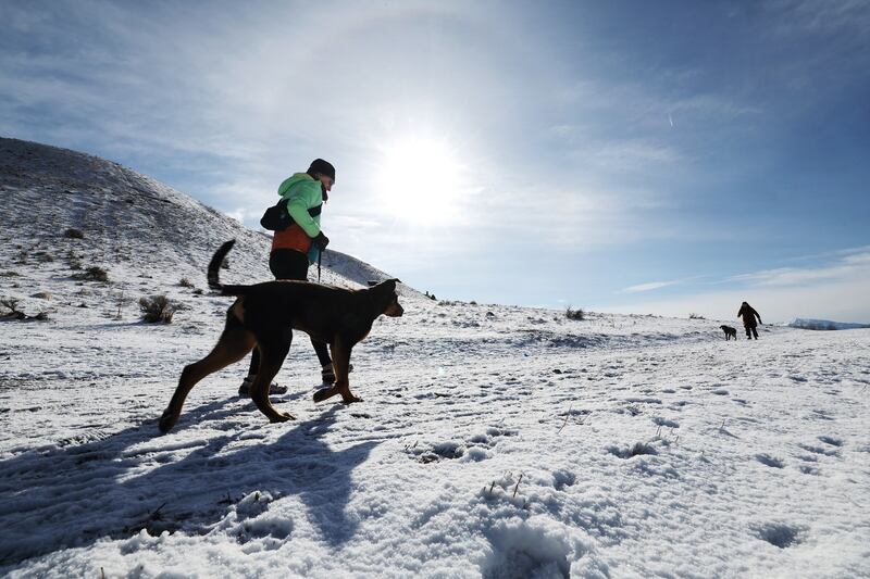
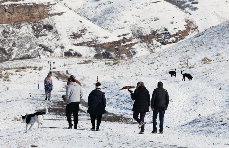
The first wave of a major storm system arrived in Utah on Monday, bringing all sorts of wacky weather on the first day of spring, including rain, lightning and snow in the valleys.
Over an inch of rain fell in New Harmony in southern Utah, while over a foot of snow fell at Alta Ski Area in the Wasatch Mountains.
It helped push Brighton Resort's season snow total past 700 inches for the season, the earliest a resort has reached that total in 80 years of recordkeeping. The statewide snowpack also climbed to 24.7 inches of water by Tuesday morning, more than 2 inches above the previous record for this point in the snow season since at least 1980.
And it's not over yet.
The National Weather Service has elevated its initial winter storm watch into a mix of winter storm warnings and winter weather advisories across Utah for the second wave of storm activity heading into the state this week. Two feet of snow, or more, are possible in some mountain areas from what is set to be a more powerful wave coming in from the south.
Utah's valleys could see a little bit of snow over the next few days, in addition to temperatures that will remain below normal across the state over the next week. It's another reminder that winter in Utah isn't over quite yet.
"(There's) no spring in sight for the next seven (days)," said KSL meteorologist Matt Johnson.
Storm timing
This wave of the storm began creeping into southwest Utah on Tuesday morning. It will continue to impact southern Utah even as the system moves north into the rest of the state as the day continues, according to Johnson.
"We're seeing that atmospheric river start to plunge into the West," he said, adding that it's expected to provide a mix of rain and snow with a snow line at about 6,000 feet.
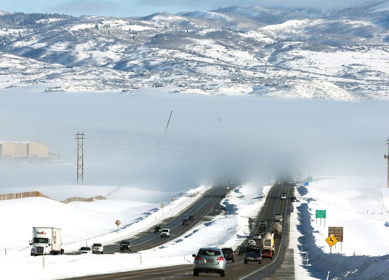
The system is forecast to reach the northern half of the state by the late afternoon and early evening, which may lead to some wet roads during the afternoon commute along the Wasatch Front. The precipitation is expected to continue across most of the state into Wednesday.
"There's potentially a wet (Wednesday morning) commute for some of us," Johnson said. "And then Wednesday afternoon, the flow switches out of the northwest, we might even see another round of rain-snow mix and even some accumulating snow on the grass in northern Utah and (southern Utah)."
Projected snow and rain totals
Most mountain areas will likely receive another 1 to 2 feet of snow between Tuesday and Wednesday, but even heavier totals are projected in areas near Alta in the Wasatch Mountains and Brian Head in the southern mountains.
One model released by the National Weather Service's Salt Lake City office projects as much as 2½ feet of new snow near Brian Head, while upper Cottonwood canyon areas by Alta also have a stronger probability for totals that exceed 2 feet. The agency's Grand Junction, Colorado, office, which oversees forecasts in eastern Utah, adds that totals may also exceed 2 feet in the La Sal and Abajo mountain ranges in southeast Utah.
The winter weather advisories add that snow accumulations in the central mountains may reach up to 1 foot of snow, while 5 to 10 inches are possible along the Wasatch backcountry, in areas like Park City, Heber City and Huntsville. Another 4 to 8 inches are possible in the western Uinta Basin, in areas like Duchesne and Roosevelt.
Manila and Dutch John in northeastern Utah are forecast to receive between 7 to 14 inches of snow or more.
Cedar City could pick up a few inches of snow by the end of Wednesday, Johnson said. Even the Wasatch Front communities could end up receiving an inch or two of snow by then, too.
The storm, he adds, is projected to produce a quarter- to a half-inch of rain across the northern half of the state, while over an inch of precipitation is possible along the southern-most communities like Kanab and Blanding.
"We are concerned a little bit about flood potential down around the southwest corner," he said.
Cold and wet conditions linger
But wait, there's more.
Another system is currently projected to arrive Thursday night, possibly bringing snow to the northern Utah valleys Thursday and Friday. It's unclear how much of it will accumulate. High temperatures along the Wasatch Front are forecast to drop into the upper 30s with below-freezing lows over the weekend if the forecast holds up.
High temperatures in St. George may top out in the mid-50s, with overnight lows in the 30s this weekend, as well. The area has a lower probability of precipitation but could still see some rain.
Full seven-day forecasts for areas across Utah can be found online, at the KSL Weather Center.