
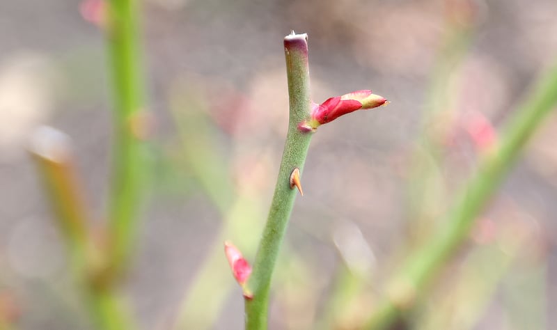
This month may end up being one of Utah's wettest Februarys on record, which would help Utah close out meteorological winter on a strong note.
However, meteorological spring is looking far less certain.
The National Weather Service's Climate Prediction Center issued its three-month outlook for meteorological spring last week, noting that a large chunk of Utah has a greater probability of above-normal temperatures while the whole state is listed as having "equal chances" when it comes to precipitation. The latter means there's no clear signal whether Utah will receive above, below or near normal amounts of rain and snow.
However, even an average spring could produce plenty of water. The months of March, April and May are typically three of the state's wettest months of the year, KSL meteorologist Matt Johnson pointed out.
"If we can just average, hit the bar for our three wettest months — historically speaking — we're in a great spot," he said. "If we fall below that — as we've seen before — we won't love it, but since we're coming off such a huge return last year ... we might make it out unscathed even if we finish below-normal over the next three months."
Utah's water situation now
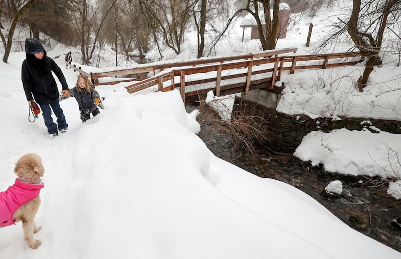
About 95% of the state's water supply comes from the snowpack and snowmelt process, and Utah's situation is looking good as meteorological winter comes to an end. Over two-thirds of this year's snowpack collection has come since New Year's Day, when the snowpack was 69% of the median average for Jan. 1.
The state's snowpack jumped to an average of 13.4 inches of snow water equivalent by Wednesday morning, 118% of the median average for this point in the year. There's more snow forecast for the mountains this week and early next week.
Even if the state didn't receive a single drop of precipitation during the rest of the snow collection period, it would still end up at 84% of the median seasonal average — higher than both the 2021 or 2022 water years. Since recent storms have impacted all parts of the state, all of its regions are on track for a decent spring runoff.
In addition, Utah's reservoir system, combined, is at 82% of capacity, 23 percentage points higher than the February normal. Candice Hasenyager, director of the Utah Division of Water Resources, said last week the figures are a "significant win" after a slow start to the water year.

A look at spring
However, the wet trend could linger into at least the start of spring, which is important. Spring is a pivotal season because it's Utah's wettest season, padding onto the ever-important snowpack. It's also when the snowpack begins to melt, as water flows into streams, creeks and rivers that refill lakes and reservoirs.
There's a delicate balance between temperature and precipitation, which is often the line between water storage efficiency and flooding.
Climate Prediction Center outlooks seem to indicate that this trend could linger into March, listing all of Utah as having a 33% to 40% probability of above-normal precipitation next month. Areas directly west and east of Utah also have a greater probability, which mirrors most of the recent storm activity.

That above-normal streak ends in the spring three-month outlook, while the temperature probabilities don't change much. This may be a result of oceanic trends that are expected to shift in the late spring and early summer months. The center issued a report earlier this month showing that there's a 79% chance of leaving El Niño and moving into neither El Niño or La Niña, or ENSO-neutral, before odds shift in favor of a La Niña pattern by the end of summer.
It's difficult to know right now what that means for the end of spring or even the summer months.
"Sometimes in a transition phase, different things can happen (and) it becomes less predictable," Johnson explains, noting that there may be a "delayed response" to these changes and that could explain the wetter projection for the start of the season. "I think they left it equal chances because they know that. Now that we have the firehose going for California, it's hard to shut it off, especially in March."
The projections also don't provide much information about exact temperature or precipitation variation. So an above-normal average temperature outlook could mean 0.1, 5 or 10 degrees above historic averages.

Water managers are preparing for all the potential outcomes. Laura Briefer, director of Salt Lake City Public Utilities, told members of the Salt Lake City Council during an update Tuesday that the outlook could create a greater water demand this spring and a faster snowmelt.
Since many reservoirs are near full, Jordan Clayton, a hydrologist for the Natural Resources Conservation Service, told KSL.com earlier this month that he expects there will be controlled releases from reservoirs in an effort to avoid any of those flood risks. Any water released is based on what's expected to arrive in a reservoir from the snow and how much capacity it has.
"That's a challenge because, obviously, you don't want to release too much and then not be as full, or receive the full benefit of that water," he said. "But there's a public safety aspect of it. Downstream flows and all those other aspects are important too."