


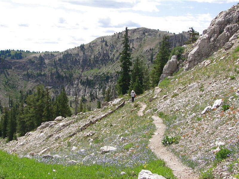


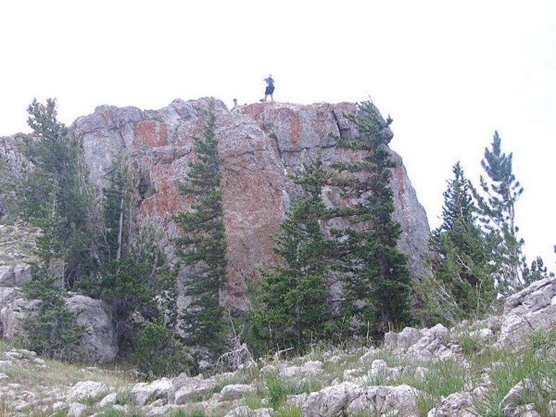


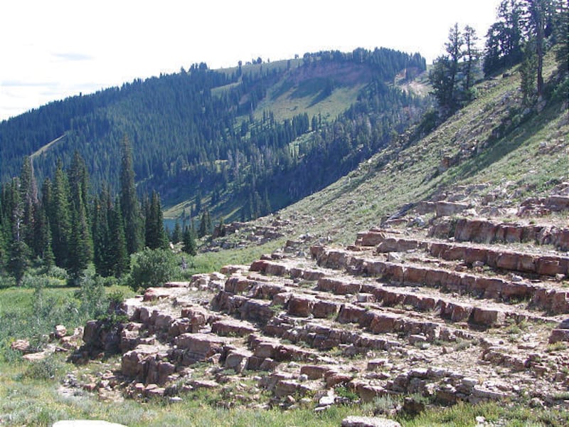

From Tony Grove parking area, start hiking on the trail for Naomi Peak. The trail climbs gently in a large meadow. At .24 mile you come to a trail junction. Go left for Naomi Peak. At .7 mile, the trail turns left and goes around a natural rock amphitheater and becomes steeper as you enter a drainage. At the top of the drainage, 1.1 miles into the hike, the trail smooths out into a large bowl. The trail goes around the bowl, switchbacks up and through a rocky outcrop to a ravine. At the top of the steep ravine the trail drops with your first view of Naomi Peak. You see two rock formations on top of the mountain in front of you. Naomi Peak is the one on the left. At 2 miles, the trail starts up and switchbacks toward the ridgeline. At 3.2 miles you arrive at the ridgeline and see into Cache Valley. You enter Mount Naomi Wilderness and go left up the boulders for the peak. Chipmunks greet you on top. Looking west you see the town of Smithfield in Cache Valley and the mountains of Idaho to the north. If you have time, hike along the ridgeline to get a different perspective of the area before leaving. Peakbaggers, this is the highest peak in Cache County and it's spectacular!
Directions: In Logan, take Highway 89 up Logan Canyon. Drive 20 miles up the canyon to the turnoff for Tony Grove. From the turnoff, it's 7 miles to the parking area and trailhead.
Destination: Naomi Peak
Difficulty: Strenuous
Round trip: 6.8 miles
Hiking time: 5 to 6 hours
Elevation gain: 1,899 feet
Trailhead restrooms: Yes
Dogs allowed: Yes
Day fee: $5