
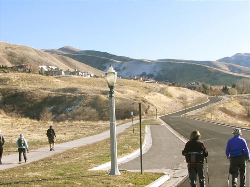
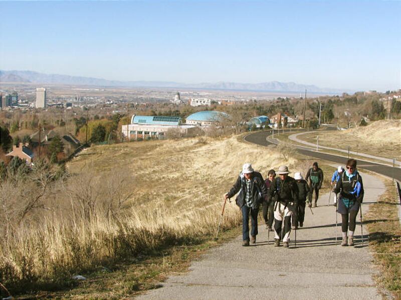
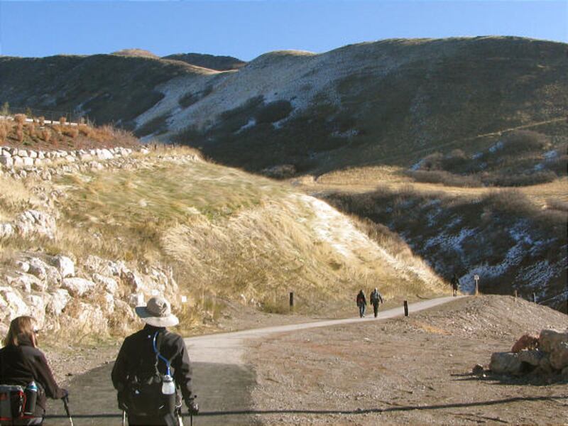
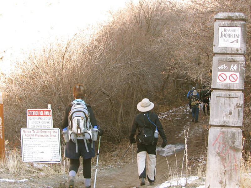
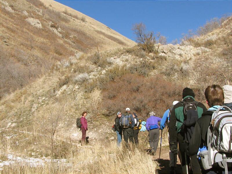
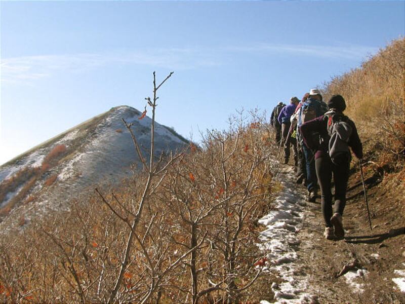
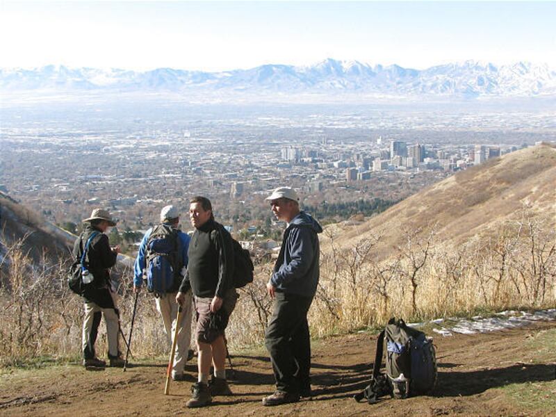
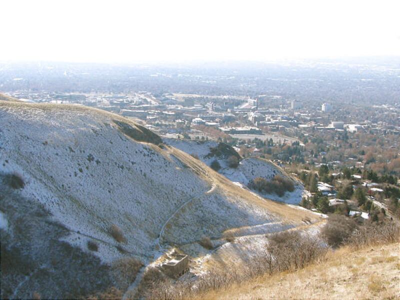
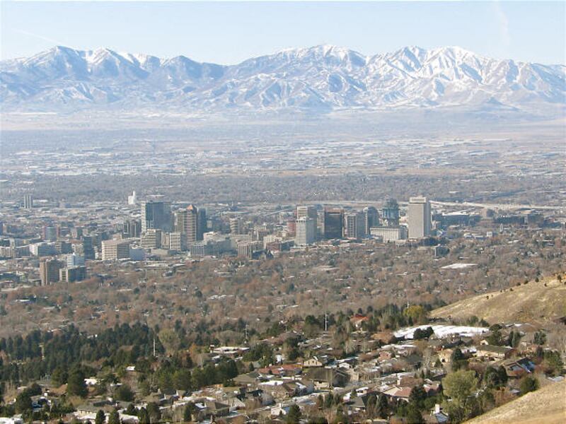
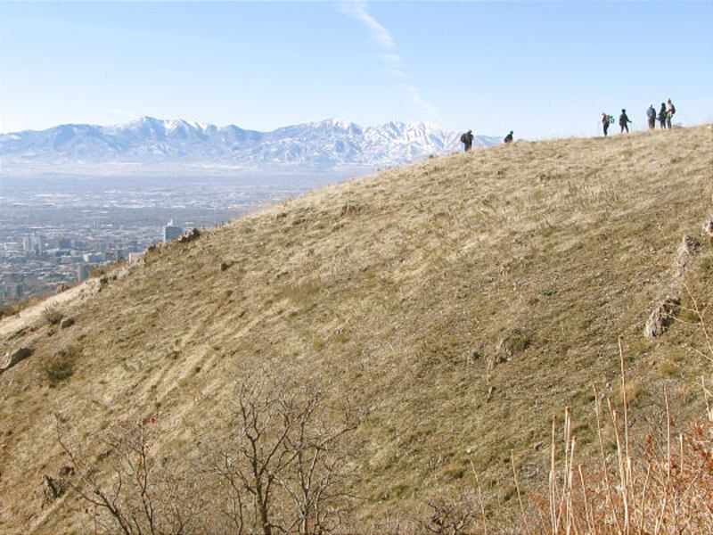
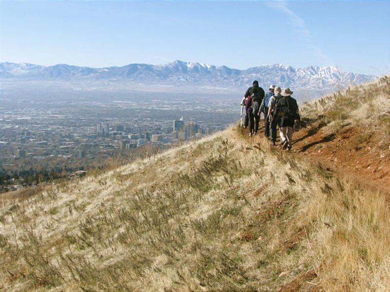
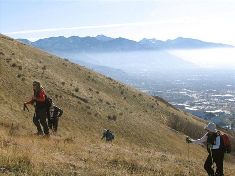
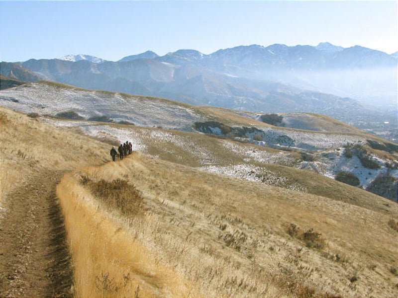
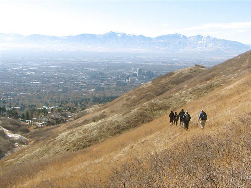
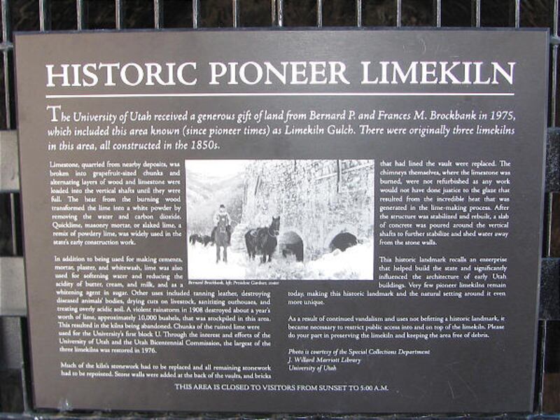
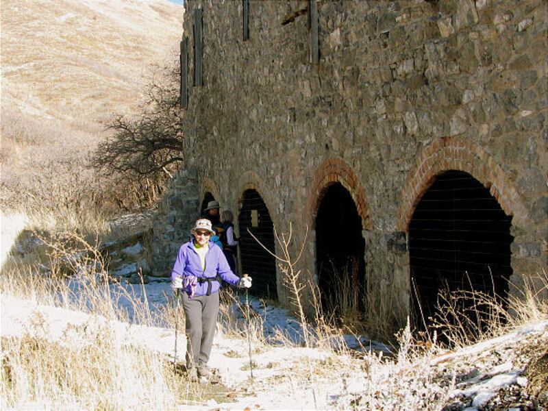
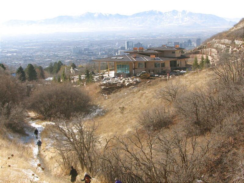
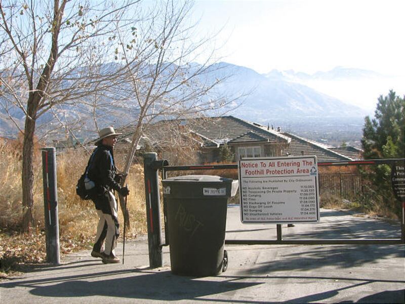
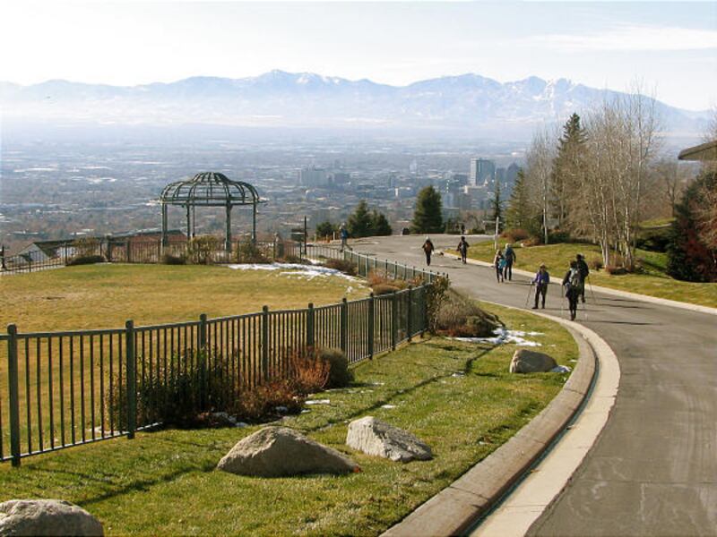
From Popperton Park, hike east on the sidewalk along Popperton Park Way. This path is used by walkers and bikers, so keep a watchful eye out for fast-moving bicyclists. Near the mouth of Dry Creek Canyon, the trail turns to gravel as you pass a gate and head down into Dry Creek Canyon and the Bonneville Shoreline trailhead. At the trailhead, the trail follows the creek bed in scrub oaks. At 1.8 miles into the hike, the trail switchbacks out of Dry Creek and heads south for the ridgeline. You reach the ridgeline at 2.25 miles with terrific views of the Salt Lake Valley. At the ridgeline the trail smooths out and heads northwest. If you go far enough, the trail will take you into City Creek Canyon. When you are ready to turn around, head back to the ridgeline and take the trail down into Limekiln Gulch. Near the bottom of the gulch is the historic pioneer limekiln that was constructed in the 1850s. Pioneers quarried the deposits for making cement, mortar, plaster and other purposes. The trail ends on Tomahawk Drive. Turn left and make your way down the surface streets to Popperton Park.
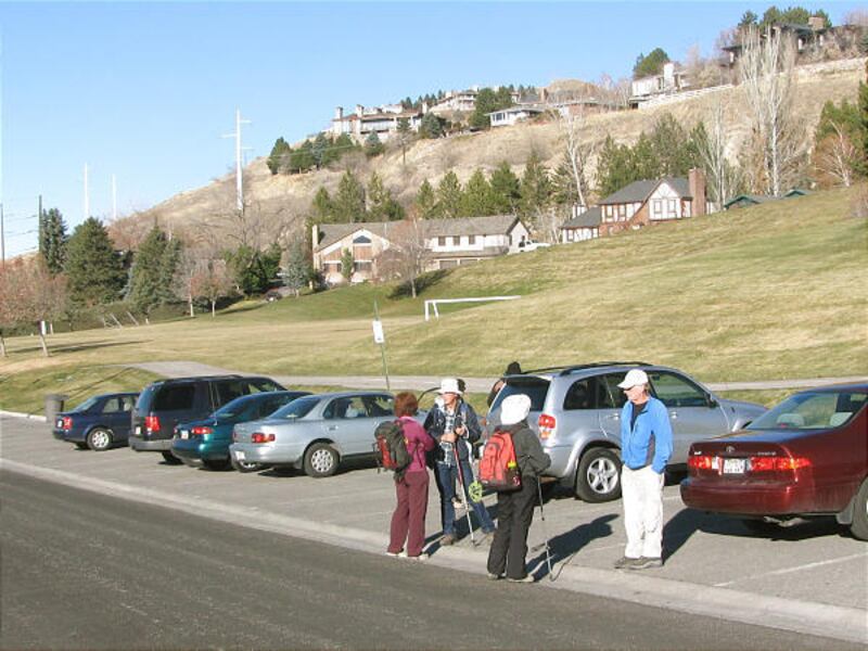
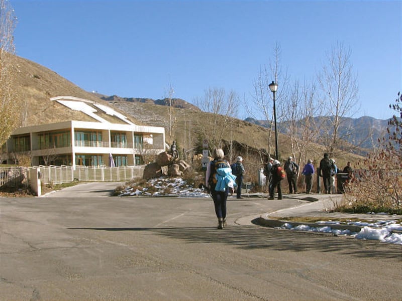
Directions: In Salt Lake City, make your way east on South Temple to Virginia Street. Go left on Virginia Street to Popperton Park Way. Start hiking from the park.
Destination — Valley views
Difficulty — Moderate
Round trip — 6.25 miles
Hiking time — 3 to 4 hours
Elevation gain — 1,384 ft.
Trailhead restrooms — No
Dogs allowed — Yes